|
Tracking Stations |
|||||||
|
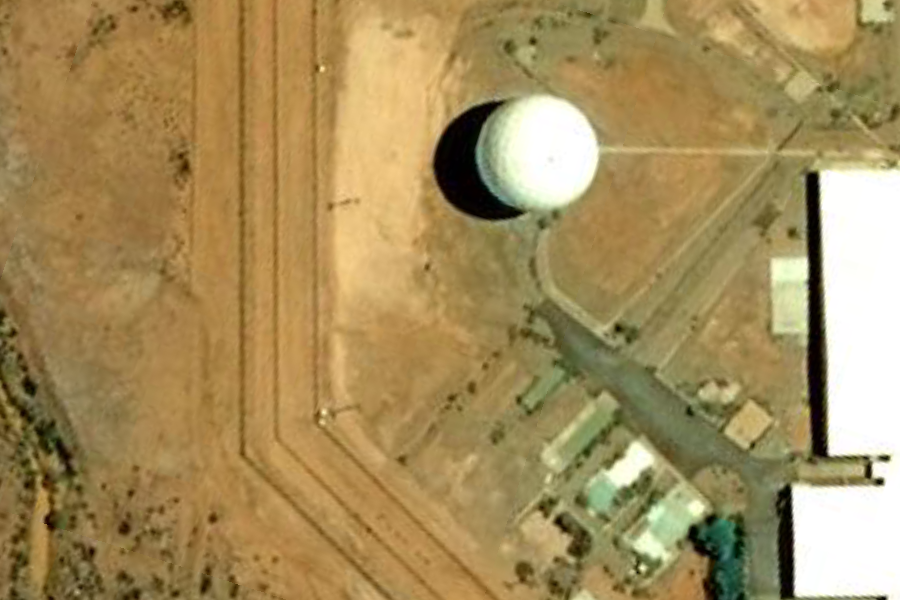
Joint Defense Facility Nurrungar 15 Miles NW of Island Lagoon, Woomera, South Australia 31°19'25.71"S, 136°46'36.88"E ..
ID:
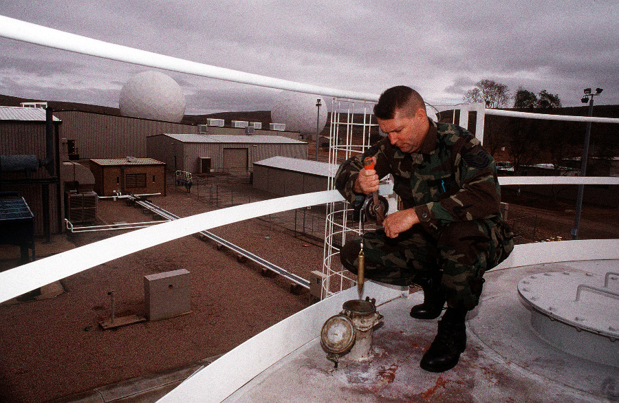
DF-ST-98-06078; 961201-F-0934S-004; Power
Plant Foreman, Technical Sergeant William
Bennett, checks the diesel fuel level of
one of two 60,000 gallon tanks used to
power the three generators at Joint
Defense Facility Nurrungar, Australia.
TSgt Bennett is assigned to the 5th Space
Warning Squadron which shares
responsibility for the operation of the
facility with Australia's No. 1 Joint
Communications Unit in the Australian
interior. - Published in Airman Magazine,
December 1996; Source: United States Air
Force
Joint Defense
Facility Nurrungar
Joint Defence
Facility Nurrungar (JDFN), located on the edge
of Island Lagoon, approximately 15 km south of
Woomera, South Australia was a facility operated
jointly by the Australian Department of Defence
and the United States Air Force from 1969
through 1999. Its official area of emphasis was
space-based surveillance, in particular the
early detection of missile launches and nuclear
detonations using U.S. Defense Support Program
satellites in geostationary orbits. The name Nurrungar
derives from an aboriginal term meaning
"listen".Inside
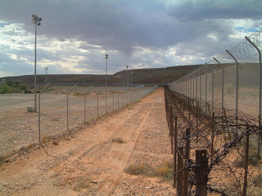
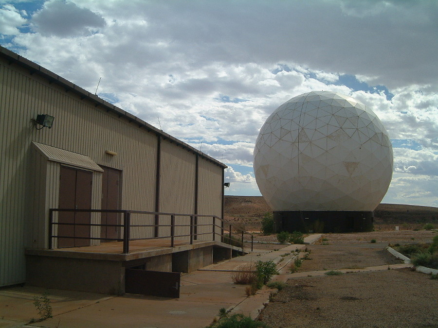
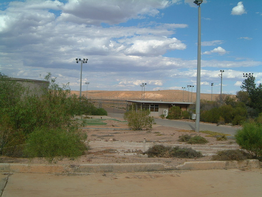
Inside the fence of the large facility there are many large rooms like kitchens and secure rooms. Now the whole facility is completely empty. it has been stripped of lights, power plugs and anything that might have been useful. There are still bullet proof secure rooms in the facility. Inside the fence there is rows of barbwire, microwave beams and many other security features. There is even still a tennis court on the grounds. Cold War uses During the Cold War the site was crucially important to America's defenses, being at the time the only facility for providing "launch on warning" surveillance of possible ICBM launches. Not surprisingly, it was also regarded as one of the Soviets' top ten targets in the event that such an attack would actually take place. Politically it was both a symbol of U.S.-Australian relations, and highly controversial; this was mainly due to fears that the site could prompt a nuclear attack on Australian soil, and antipathy towards the US alliance amongst the Australian political left. Political demonstrations were staged at the facility in 1989, 1991 and 1993. Despite allegations to the contrary, Australian military personnel were fully integrated into the site's operations. The public in general was not even aware of its existence until November 1970, a full year after it had been in operation (its precise location did not leak out until sometime later.) Vietnam War Leaked Department of Defence documents have revealed that satellites controlled by the Pine Gap and Nurrungar facilities were used to pinpoint targets for bombings in Cambodia. Persian Gulf War During the Persian Gulf War it managed to score a few positive publicity notes for detecting early launches of IraqiScud missile attacks; years later, a USAF assessment would emerge revealing that in fact oversights at the bases were responsible for one of the worst disasters for Coalition forces during the war, on February 26, 1991 when an Iraqi Scud missile broke up above Dhahran and fell into a warehouse housing U.S. soldiers, killing 28 and injuring more than 100. The report found that ground operators at Nurrungar played a part in the tragedy, which the Air Force described as a "worst case combination of events"; these were in turn compounded by failures in the MIM-104 Patriot intercept system deployed near the Dhahran base itself. Decommissioned in 1999 After September, 1999 its operations were moved to the Joint Defense Facility Pine Gap, near Alice Springs, and ownership of the premises were transferred to the Village of Woomera. Since then the village has been seeking a new tenant for the premises; with "remaining buildings offer a combined floor space of over 5,000 square metres, and could be refurbished to support activities that take advantage of the geographic and physical attributes. The site is surrounded by a high security perimeter fence and includes a large radome structure." References
..
..
..
..
|
|||||||
| Apparently your favourite station at
Exmouth (21°48'59.37"S,114° 9'55.99"E), apart from
having geometrical connections with:
Pine gap:
23°47'55.54"S, 133°44'13.41"E also falls on a Great Circle track through the Magnetic Poles, which also includes these stations in it's network: Exmouth:
21°48'59.37"S, 114° 9'55.99"E and back to Exmouth. If someone started a thread on this , someone else might post some stuff about the ATSB coverup of QF72 |
|||||||
|
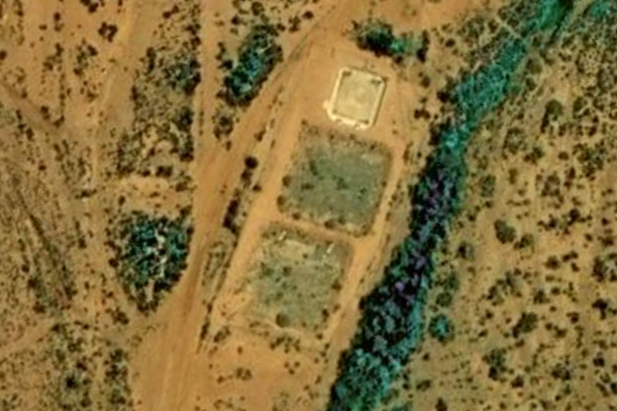
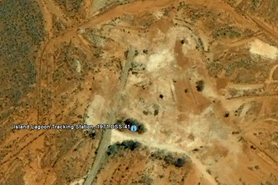
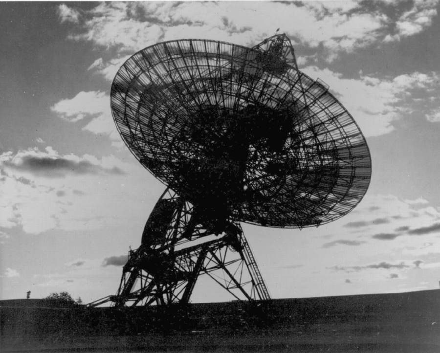
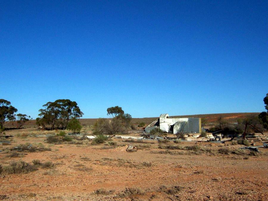
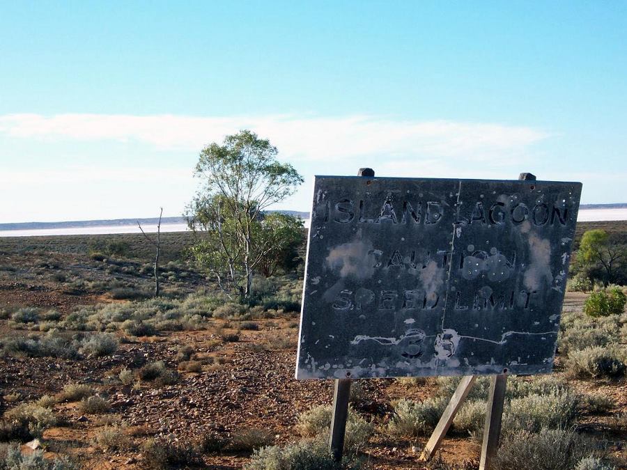
Island Lagoon Tracking Station Island Lagoon, Woomera, South Australia 31°22'55.52"S, 136°53'14.84"E ..
..
..
|
|||||||
| FAIR USE NOTICE: This page contains copyrighted material the use of which has not been specifically authorized by the copyright owner. Pegasus Research Consortium distributes this material without profit to those who have expressed a prior interest in receiving the included information for research and educational purposes. We believe this constitutes a fair use of any such copyrighted material as provided for in 17 U.S.C § 107. If you wish to use copyrighted material from this site for purposes of your own that go beyond fair use, you must obtain permission from the copyright owner. | |||||||
|
|

