|
|
|||||||||
|
-7° 58' 5.11", -14° 24' 13.53" |
|||||||||
|
Ascension Island
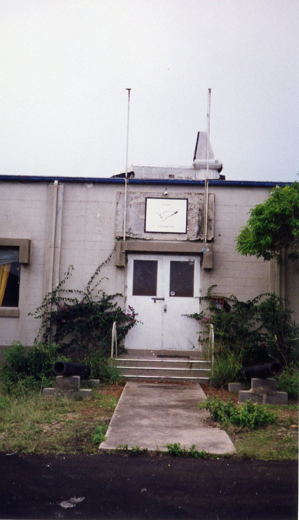
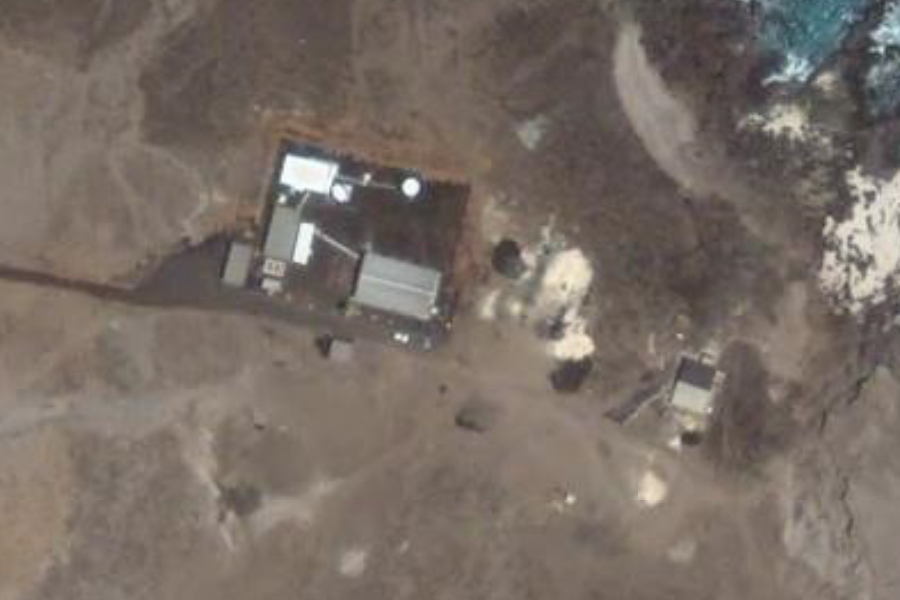
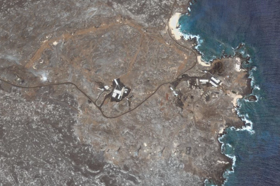
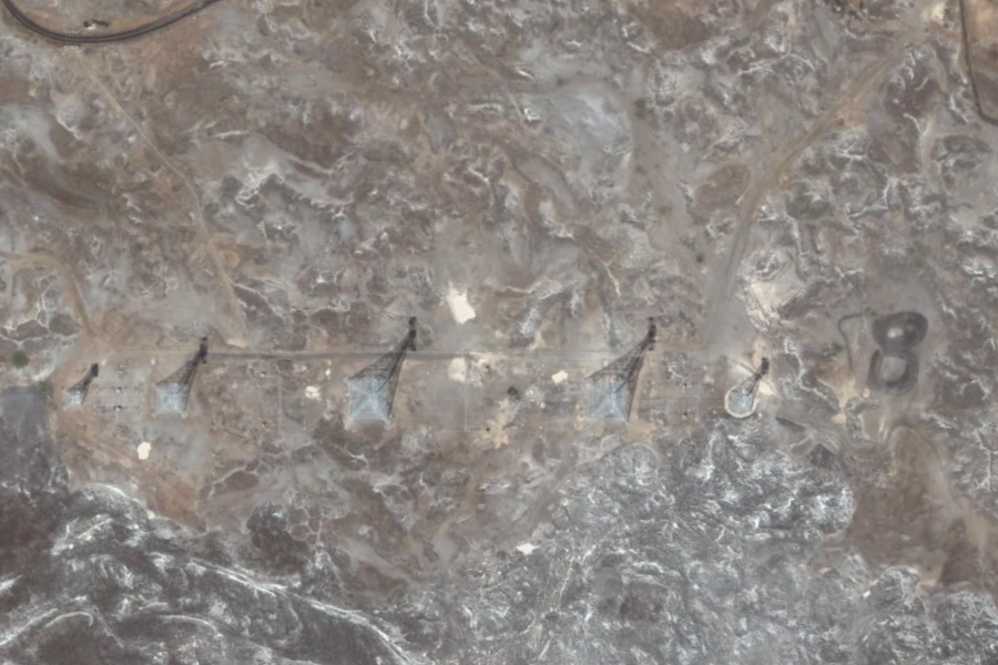
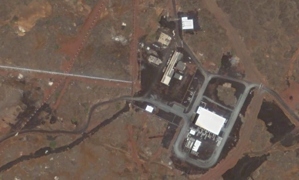
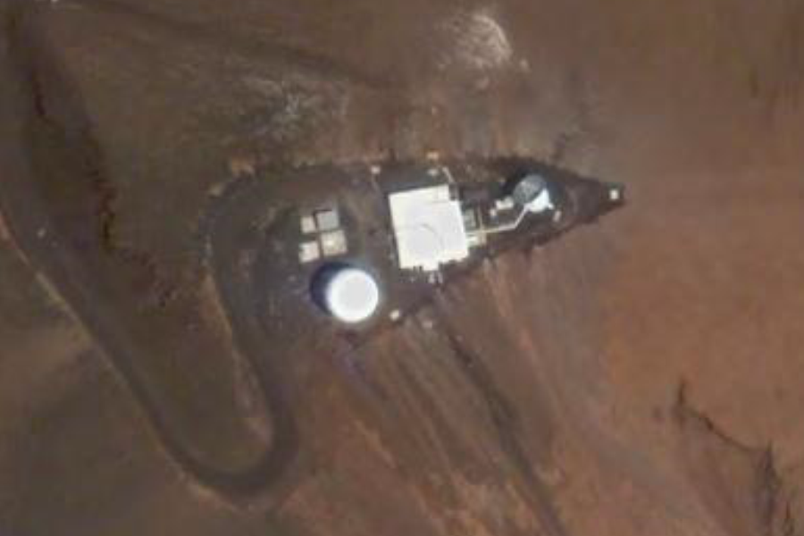
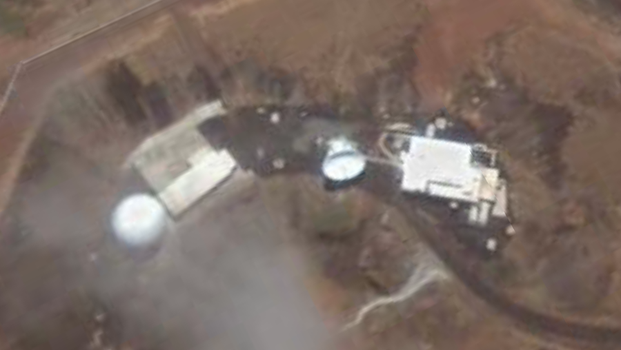
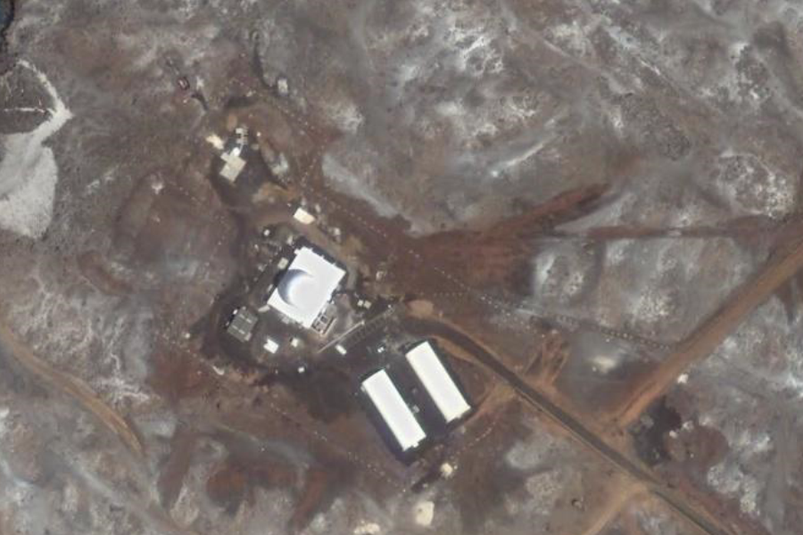
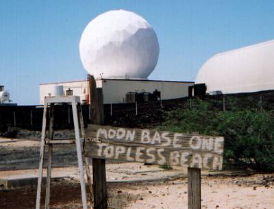
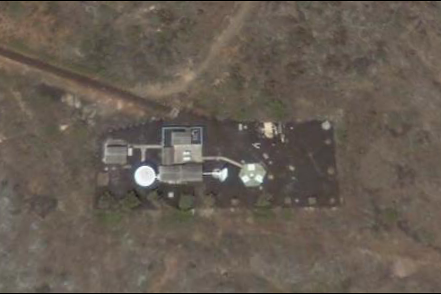
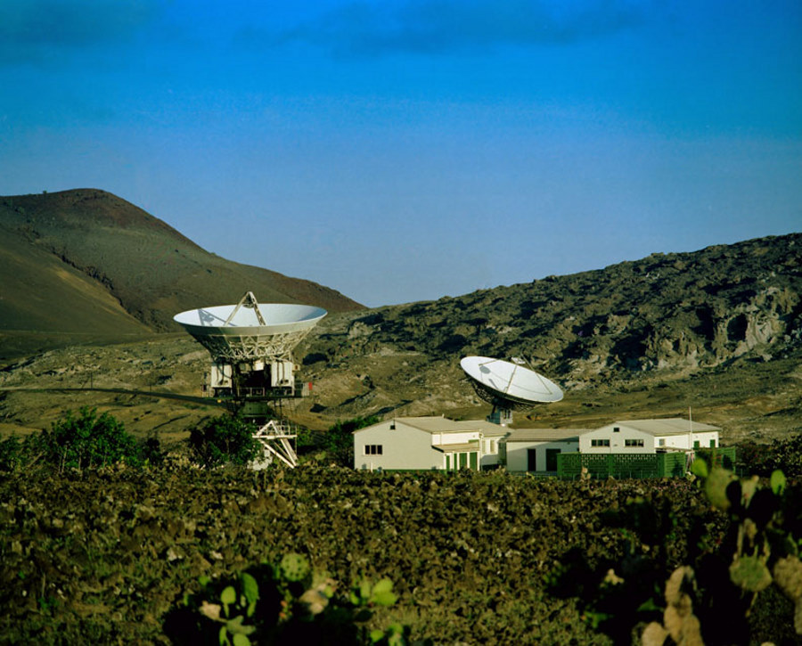
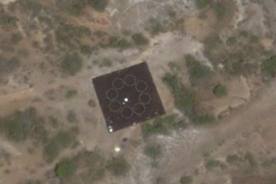
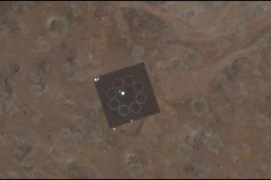
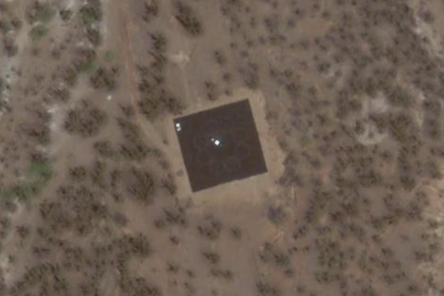
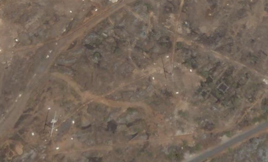
An integrated Apollo and deep-space station (DSS 72) was constructed from 1965 to 1966 on the British island of Ascension, in the Atlantic Ocean, approximately 2,250 kilometers (1,400 miles) east of South America, 1,600 miles west of Africa, and about 4,000 miles down the Air Force Eastern Test Range (ETR). The original purpose of constructing this station was to support the early Surveyor missions, whose Atlas-Centaur launch vehicles would produce a direct-ascent trajectory to the Moon, rather than insertion from a parking orbit. Translunar injection would therefore occur before the spacecraft was visible to either the Johannesburg station or the stations in Spain. Consequently, a station nearer to the launch site than these facilities was needed to obtain during this phase positional data vital to trajectory determination and midcourse corrections. Because such a station could also support later deep-space missions and Apollo manned missions, NASA decided to build an integrated facility (with a joint-control building) serving both programs. A site survey conducted by Goddard Space Flight Center personnel in April 1964 on Ascension Island, where an ETR station was already established, identified a suitable site at Devil's Ashpit, on the eastern side of the island. Volcanic peaks surrounding the site provided natural shielding against radar and other radio-frequency interference from the ETR station and a British broadcasting facility elsewhere on the 88-square- kilometer (34-square-mile) island. Deep space and Apollo missions were separately monitored by two 9-meter, az-el-mounted antennas with high angular-tracking rates. The deep-space antenna (on the right in the photo) had a nominal communications range of 60,300 kilometers (37,500 miles). This station was funded by the U.S. State Department. SOURCE: NASA Deep Space
Old NASA Station near NE Bay |
|||||||||
|
|||||||||
|
..
..
BBC Atlantic Relay Station, Ascension
Island
Originally engineered and operated
by the British Broadcasting Corporation's External Services Department
as its South Atlantic Relay Station, this shortwave broadcasting station
opened on February 5, 1966: http://newsimg.bbc.co.uk/media/images/43046000/jpg/_43046763_ascension203_mod2.jpg
The station was vital in serving both the United Kingdom's liberation forces
and the population of the Falkland Islands in 1982. Currently operated
and maintained by VT Communications under contract to the BBC, the site
radiates English (World Service) and vernacular programmes using high-power
frequency-agile transmitters in conjunction with high-gain 'curtain array'
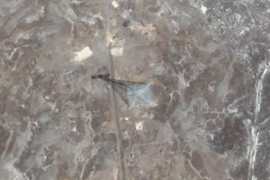
antennas, the supporting towers for which can be seen adjacent to the main
transmitter building. Transmitter hall ca. 1993:
..
..
...
..
|
|||||||||
|
...
Royal Air Force Station Ascension, more commonly known as RAF Ascension Island, and sometimes known as Ascension Island Base, is a British military airbase on Ascension Island in the Atlantic Ocean, near the Equator. The first aircraft to land on Ascension Island was a Fairey Swordfish from HMS Archer in 1942. In 1943 the United States Army Air Force set up Wideawake Airfield, by arrangement with the British government. The airfield was abandoned at the end of the war, and fell into disuse. The Americans returned in 1956, and reopened the airfield in 1957. The runway was lengthened and widened in the mid 1960s to allow for larger aircraft. USAF then, and later NASA established missile tracking facilities based at Cat Hill. Although NASA usage ended in 1967, USAF continues its usage with several hundred personnel, mostly contractors. RAF Ascension Island was re-garrissoned by the RAF in 1982 and used extensively as a staging base during the Falklands War. Operation Black Buck, the long range bombing raids, were carried out from there. The base continues this stating post role for the Falkland Islands, for both the RAF and the United States Air Force. SOURCE: Wikipedia RAF_Ascension_Island
Ascention Island Approach ..
..
Wideawake Airfield ..
..
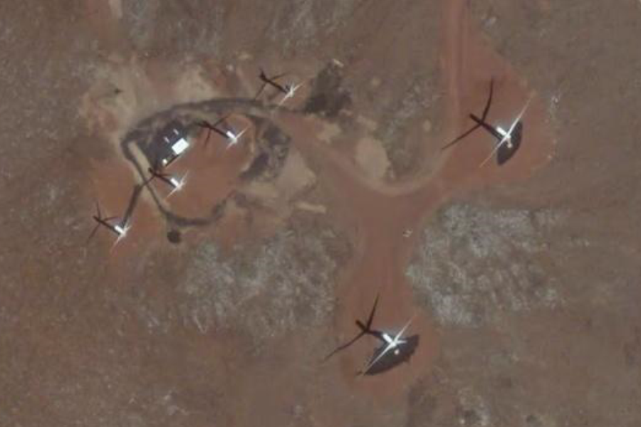
American Radar Station on Hill behind Airfield view from wind farm Ascension Island Wind Turbines, 2004, Looking Towards WT #6, a 900 KW Machine ..
...
|
|||||||||
|
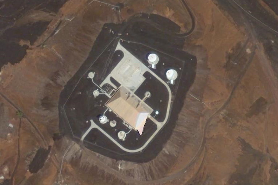
"Cat Hill" ..
By Manchester_jm This is a US Air Force Station that is used primarily for tracking space vehicles launched out of Cape Canaveral AFS in Florida. There is also a GPS Satellite tracking station located here.
By Scott_Drzyzga The Global Positioning System (GPS) is a satellite based system that provides users with precise measurements of time, position, and velocity anywhere on or near the surface of the Earth. GPS and other location-aware technologies (e.g., Google Earth) are quickly altering the way we navigate, communicate, survey and map, practice large-scale agriculture, transport raw materials and finished goods, and even the way we play. This post attempts to document, in a visual way, the geography and scale required to make this technology possible.
US Airforce Welcome Sign
Flags at Cat Hill |
|||||||||
|
..
..
Ascension Island Wind Turbines, 2004 ..
Ascension Island Wind Turbines, 2004, Kurt Myers Standing in WT #5 Nacelle ..
..
Ascension Island Cannons |
|||||||||
|
..
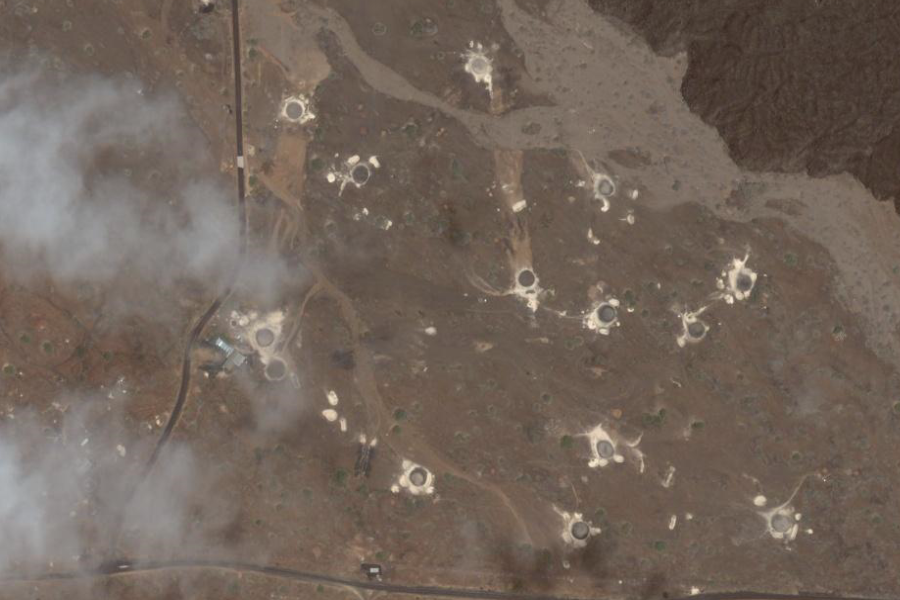
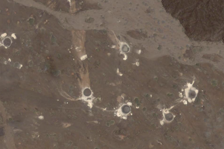
That is the area of the island known as "One Boat Golf Club". They don't have 'greens' as such on the course. Due to the surface being pretty dry and volcanic, they create 'greens' by pouring diesel fuel into the ground. They are known as "browns" rather than greens. Hey, you've got to get your entertainment somehow on Ascension and this is what golfers do when they have no grass. - gegrazer
The clubhouse commands views of Sisters Peak, the most recent volcanic eruption on Ascension (600 years ish ago the darker rock bordering the course to the NE is the edge of the lava field and the face is about 30-40 metres high) and Green Mountain. The 13th hole runs along the edge of the lava field. - By scuff
|
|||||||||
|
-7° 54' 23.77", -14° 24' 9.06" ..
'''
|
|||||||||
|
-7° 55' 5.36", -14° 23' 27.43" ..
..
..
|
|||||||||
|
-7° 56' 58.89", -14° 22' 41.37" ...
..
Donkey Plain Satellite Station (1982) |
|||||||||
|
...
-7° 55' 54.76", -14° 22' 55.39" ...
-7° 56' 15.73", -14° 22' 30.55" ..
-7° 56' 15.73", -14° 22' 30.55" ..
-7° 55' 56.94", -14° 21' 25.98" |
|||||||||
|
..
-7° 57' 15.76", -14° 23' 7.62" ..
-7° 57' 6.05", -14° 23' 3.56" ..
-7° 57' 30.80", -14° 23' 46.74" |
|||||||||
| ASCENSION ISLAND DURING THE 1982 FALKLANDS WAR
http://www.naval-history.net/FpxAAscension2.htm |
|||||||||
| FAIR USE NOTICE: This page contains copyrighted material the use of which has not been specifically authorized by the copyright owner. Pegasus Research Consortium distributes this material without profit to those who have expressed a prior interest in receiving the included information for research and educational purposes. We believe this constitutes a fair use of any such copyrighted material as provided for in 17 U.S.C § 107. If you wish to use copyrighted material from this site for purposes of your own that go beyond fair use, you must obtain permission from the copyright owner. | |||||||||
|
|

