|
Nevada |
|||||||||||
|
Area 52 Entry Sign Nellis Bombing Range +37° 48' 43.28", -116° 45' 57.14" ..
..
..
..
... |
|||||||||||
|
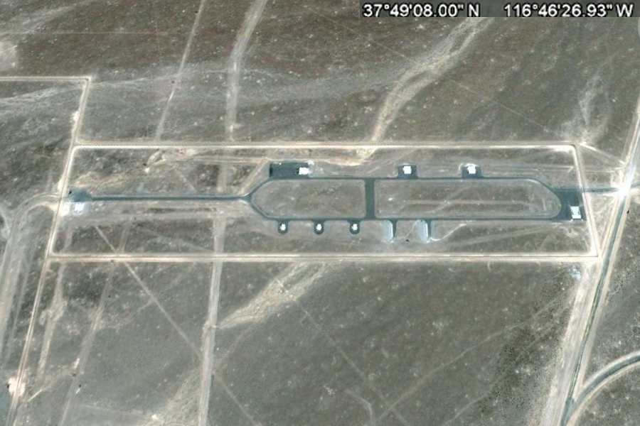
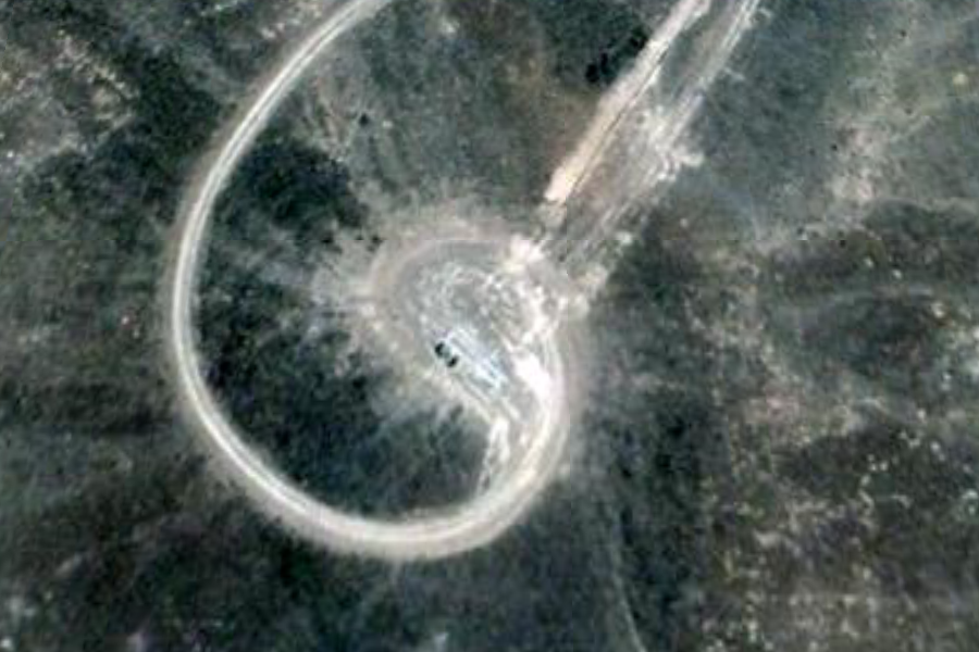
Tonopah Test Site Airfield and Main Facilities Nellis Bombing Range 37°48'05.51"N 116°46'31.92"W ..
KZ TONOPAH TEST RANGE
Altitude 5549ft
RWY 14 APPR 143°
NELLIS APP FREQ1 119.35 M FREQ2
254.4 M
..
Tonopah Test Range Airport Tonopah Test Range Airport (IATA: XSD, ICAO: KTNX, FAA LID: TNX) is located near the center of the Tonopah Test Range, 27 NM (50 km; 31 mi) southeast of Tonopah, Nevada and 140 mi (230 km) northwest of Las Vegas, Nevada. It is a major airfield with a 12,000 ft × 150 ft (3,658 m × 46 m) runway, instrument approach facilities, and nighttime illumination. The facility boasts over fifty hangars and an extensive support infrastructure. Although most U.S. airports use the same three-letter location identifier for the FAA and IATA, Tonopah Test Range is assigned TNX[1] by the FAA and XS] by the IATA (which assigned TNX to Stung Treng, Cambodia).[3] The airport's ICAO identifier is KTNX. Tonopah is owned by the USAF Air Combat Command. The known primary use of this airport is to shuttle government employees to the weapons test range from McCarran International Airport in Las Vegas. The primary (paved) access to the facility is off of U.S. Route 6 at the north end of the airport. Dirt road access points also exist on the south and east sides of the range. The site is plainly visible from commercial airliners, which pass 17 NM (31 km; 20 mi) north of the base on transcontinental flights. History The Tonopah Test Range airfield came into existence in 1957 and was largely used by the Department of Energy, the Air Force, and several contractors. The airfield was presumably originally built to support the AEC/DOE test programs, and only later was taken over by the military for flight testing. SOURCE: Wikipedia Tonopah_Test_Range_Airport
..
..
..
..
..
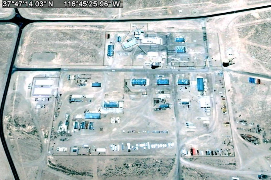
Dyncorp is into everything from environmental cleanup to spraying poppy plants in Afghanistan. I'll leave it up to the reader to guess what they are doing in Tonopah. There is considerable information on the net that Dyncorp maintains the water supply at the Tonopah Test Range. The flatbed trunks are used to move "threats" around during Red Flag and Weapons School exercises. - Lazy G Ranch
..
.... |
|||||||||||
Related Links:
|
|||||||||||
|
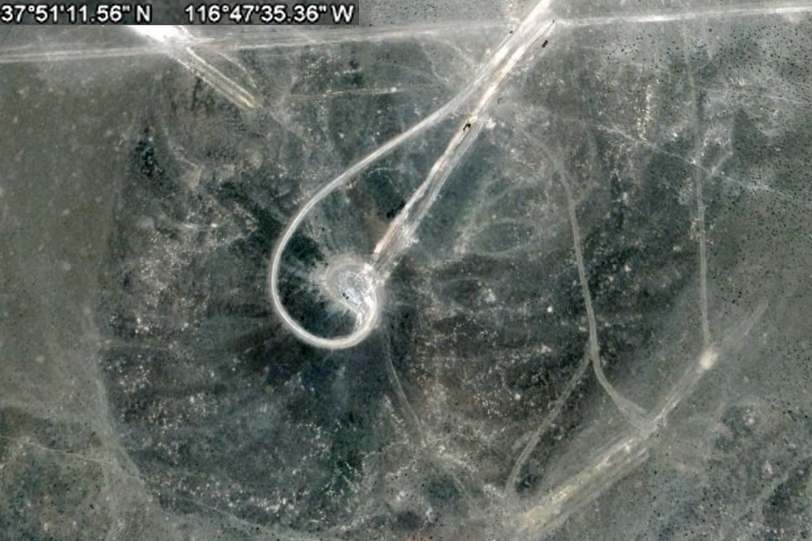
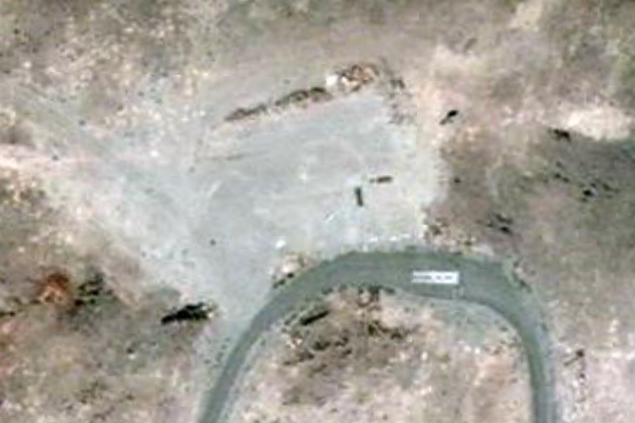
Tonopah Test Site North Mountain Top #4 Nellis Bombing Range 37°51'11.56"N 116°47'35.36"W ..
|
|||||||||||
|
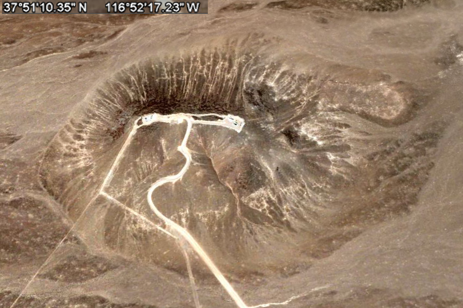
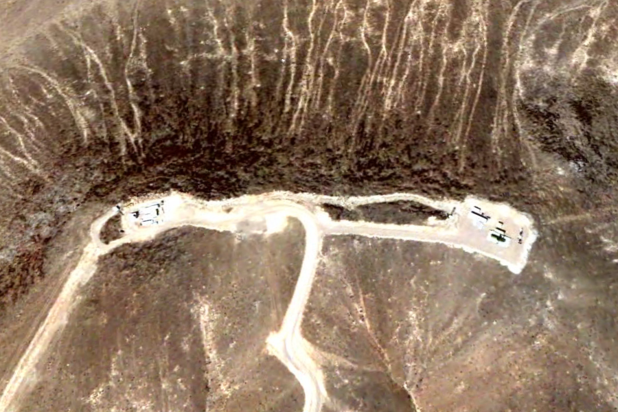
Tonopah Test Site North Mountain Top #5 Nellis Bombing Range 37°51'10.35"N 116°52'17.23"W ..
|
|||||||||||
|
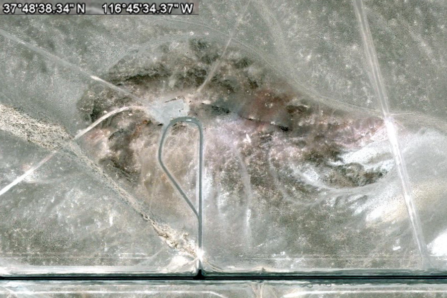
Tonopah Test Site North Mountain Top #6 Nellis Bombing Range 37°48'38.34"N 116°45'34.37"W ..
|
|||||||||||
|
Tonopah Test Site North Test Site Barracks 37°52'58.34"N 116°45'56.85"W ..
..
..
..
... |
|||||||||||
|
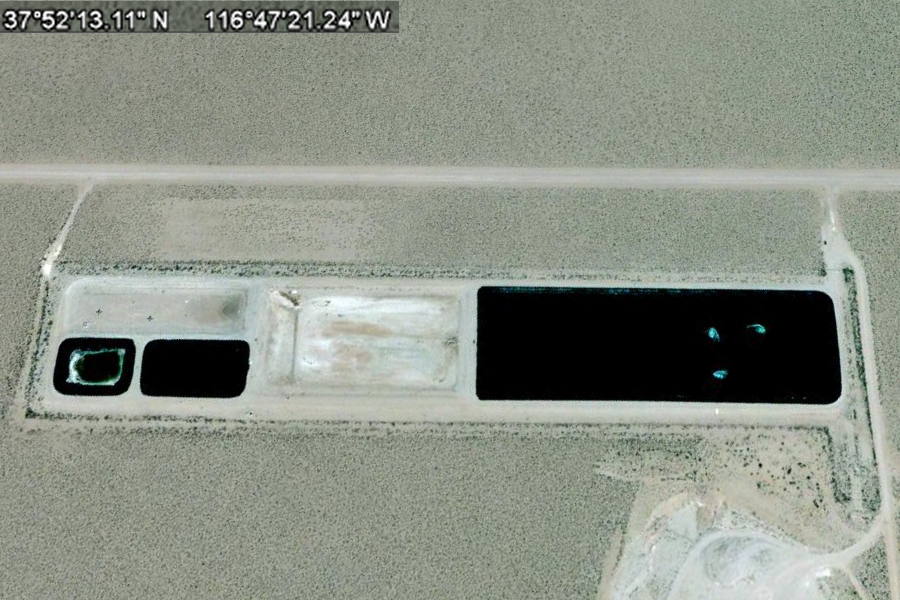
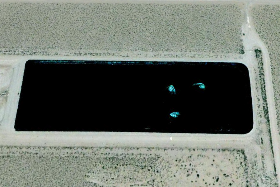
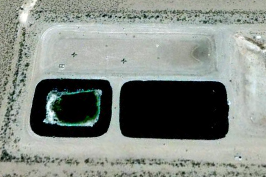
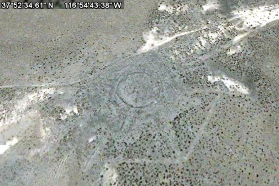
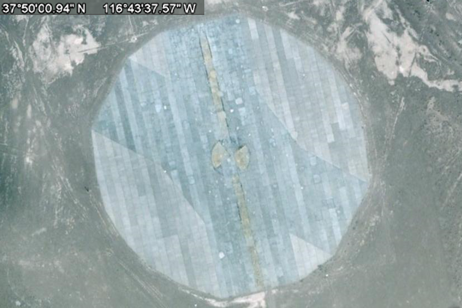
Tonopah Test Site North Bombing and Satellite Targets ..
..
..
..
..
..
..
..
.. |
|||||||||||
| FAIR USE NOTICE: This page contains copyrighted material the use of which has not been specifically authorized by the copyright owner. Pegasus Research Consortium distributes this material without profit to those who have expressed a prior interest in receiving the included information for research and educational purposes. We believe this constitutes a fair use of any such copyrighted material as provided for in 17 U.S.C § 107. If you wish to use copyrighted material from this site for purposes of your own that go beyond fair use, you must obtain permission from the copyright owner. | |||||||||||
|
|