|
|
||||
|
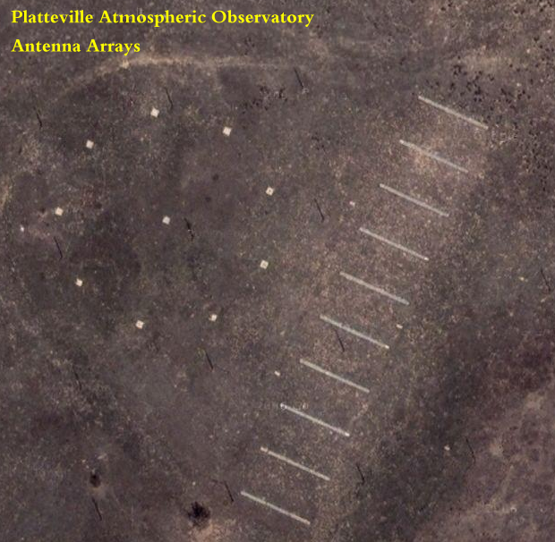
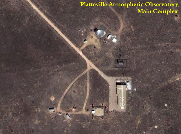
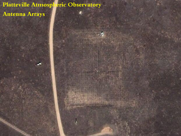
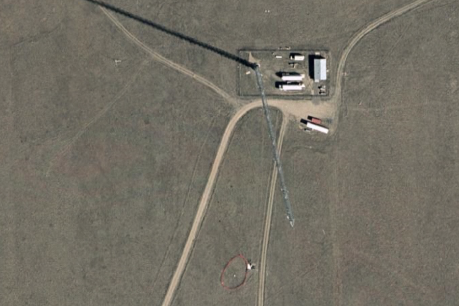
HAARP Like Facility +40° 10' 54", -104° 43' 30" ...
The Platteville Atmospheric Observatory was envisioned in 1962 by what is now the Institute of Telecommunication Sciences (ITS), a part of the National Telecommunications and Information Administration (NTIA), as a site for high-powered radio experiments. While the initial experiment, that took place in 1968, studied over-the-horizon radar, the majority of later experiments used high power radio waves to modify the ionosphere in a process that is sometimes called ionospheric heating because it raises the electron temperature in the ionosphere. The ionospheric heater was still used until 1984, when the last ionospheric experiments were performed. In the same year, the transmitters were loaned to the Office of Naval Research and sent to HIPAS in Alaska where they are still used. With the removal of the transmitters, the focus of
the facility changed to smaller-powered observation of the atmosphere rather
than modifying it. In 1988 the 404 MHz RASS was installed and the ownership
of the facility was transferred from NTIA to NOAA-ERL.
|
||||
|
The Platteville Atmospheric Observatory was one of
the first major ionospheric heaters in the world. Operating from 1968 through
1984, it expanded knowledge of ionospheric processes greatly. The observatory
continues operation, but now focuses on wind profiling. The first studies
were made of HF heater induced airglow, heater-induced
spread F, wide band heater-induced absorption, and heater created field-aligned
ionization.
Wind measurements of MLT region
using the Platteville,
Abstract: Meteoroids enter the earth’s atmosphere constantly,
producing a trail of ions due to their interaction with the air
molecules. Using radar techniques, these trails are
detected and used as tracers of the atmospheric winds by measuring the
Doppler shift of the return echo as the trails drift with the wind. We
present initial results of the atmospheric wind estimates in the mesosphere/lower
thermosphere (MLT) region measured using an improved Meteor Echo Detection
and Collection (MEDAC) system. For the data presented in this work, the
MEDAC is operated with an all-sky 50MHz radar system at the Platteville
Atmospheric Observatory, located at 401N, 1051W. A five receiver interferometer
is used to detect and estimate the precise location of the trail. Further
processing yields mean wind estimations for the height range in between
80 and 110 km. Spectral analysis show strong diurnal and semidiurnal oscillations
for the resulting wind estimates.
© 2005 Elsevier Ltd. All rights reserved.
|
||||
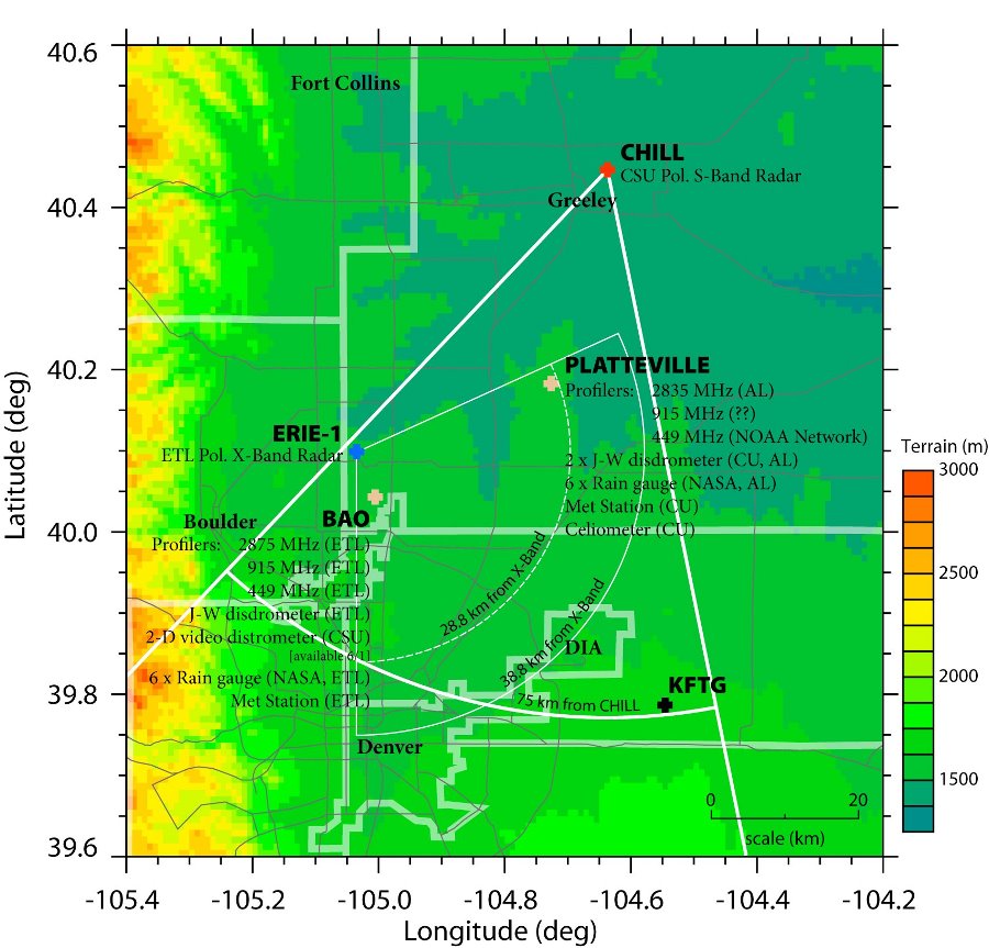
| NASA Global Precipitation Measurement
Mission
CSU/NOAA-ETL/NOAA-AL Front Range Pilot Project Science and Operations Plan 11 March 2004
|
||||
|
Google Maps ..
Surname: McQuerry
Since its founding in 1966, the Platteville Atmospheric
Observatory has been at the forefront of atmospheric science. The observatory's purpose
has broadened beyond its original use for ionospheric heating, by housing instruments including wind profilers, a
MF radar, meteor radars, and hydrology instrumentation.
In 1997, a Major Research Instrument
Grant was awarded by the NSF, which has facilitated major upgrades,
|
||||
|
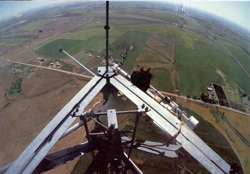
NOAA Boulder Atmospheric Observatory (BAO) Boulder, Colorado +40° 02' 59.64", -105° 00' 12.71" ...
Earth System Research Laboratory
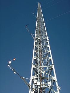
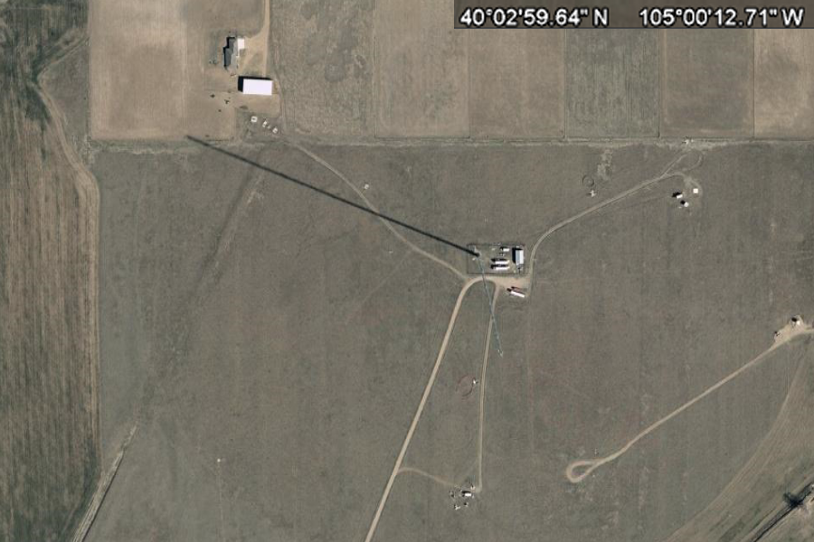
For more details contact Dan Wolfe, 303-497-6204 Completed in 1977, the BAO is a unique research facility for studying the planetary boundary layer and for testing and calibrating atmospheric sensors. The centerpiece of the facility is a 300-m tower instrumented at five levels with slow-response temperature and wind sensors, a variety of remote sensing systems, and a real-time processing and display capability that greatly reduces analysis time for scientists. The BAO has been the host of several large national and international experiments and numerous smaller ones. SOURCE: http://www.esrl.noaa.gov/psd/technology/bao/
View up the Tower ..
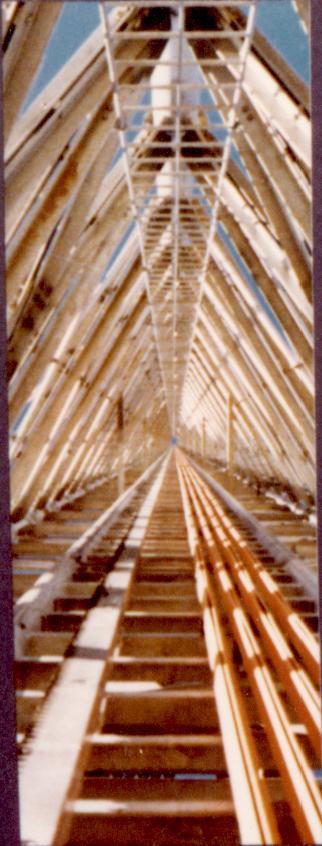
View up the inside of the Tower |
||||
|
Boulder, Colorado +40° 02' 59.64", -105° 00' 12.71" ...
|
||||
|
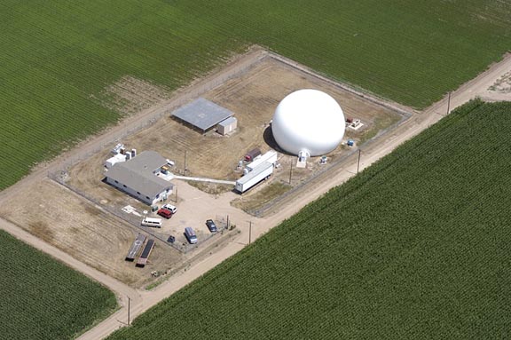
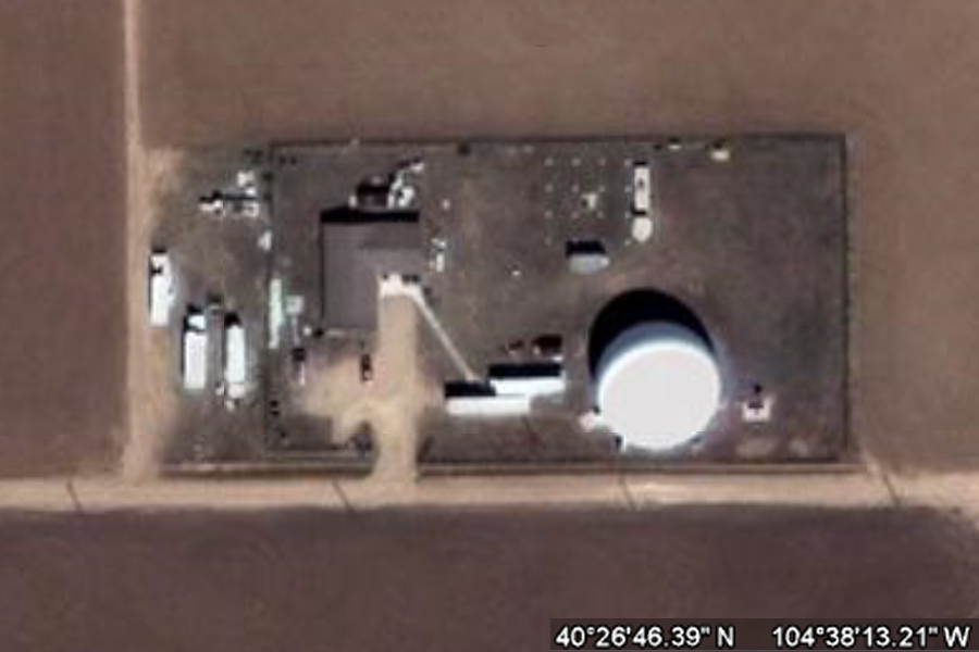
CSU-CHILL National Radar Facility Greeley, CO +40° 26' 46.39", -104° 38' 13.21" ..
CSU-CHILL National Weather Radar Facility The CSU-CHILL National Weather Radar Facility, located in Greeley, CO, is home to the CSU-CHILL radar, an advanced, transportable dual-polarized S-band weather radar system. The facility is operated by Colorado State University, under the sponsorship of the National Science Foundation and the University. SOURCE: CSU CHILL Related Links and Papers:
|
||||
|
Greeley, CO +40° 26' 46.39", -104° 38' 13.21" ..
|
||||
| FAIR USE NOTICE: This page contains copyrighted material the use of which has not been specifically authorized by the copyright owner. Pegasus Research Consortium distributes this material without profit to those who have expressed a prior interest in receiving the included information for research and educational purposes. We believe this constitutes a fair use of any such copyrighted material as provided for in 17 U.S.C § 107. If you wish to use copyrighted material from this site for purposes of your own that go beyond fair use, you must obtain permission from the copyright owner. | ||||
|
|


