|
|
||||||||||||||||||||||||||||||||||||||||||||||||||||||||||||||||||||||||||||||||||||||||||||||||||||||||
|
+62° 28' 48.00", -114° 28' 55.20" ..
Handled by: http://www.nrcan.gc.ca/ |
||||||||||||||||||||||||||||||||||||||||||||||||||||||||||||||||||||||||||||||||||||||||||||||||||||||||
|
+62° 28' 48.00", -114° 28' 55.20" ..
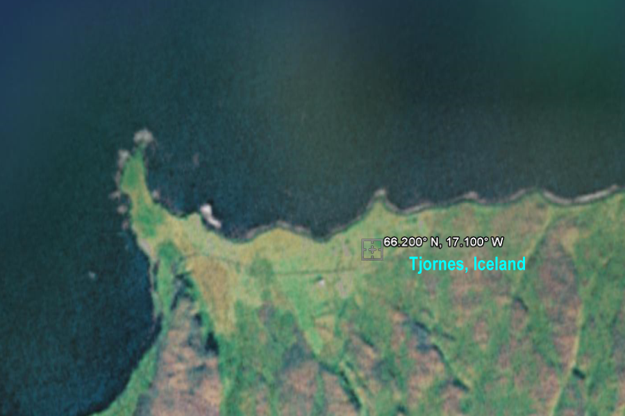
.. Tjörnes Lighthouse - Year
1929.
Handled by: http://www.nipr.ac.jp/english/r_groups/t01_atmosphere_a.html
|
||||||||||||||||||||||||||||||||||||||||||||||||||||||||||||||||||||||||||||||||||||||||||||||||||||||||
|
+52° 9' 36.00", -106° 31' 48.00" ..
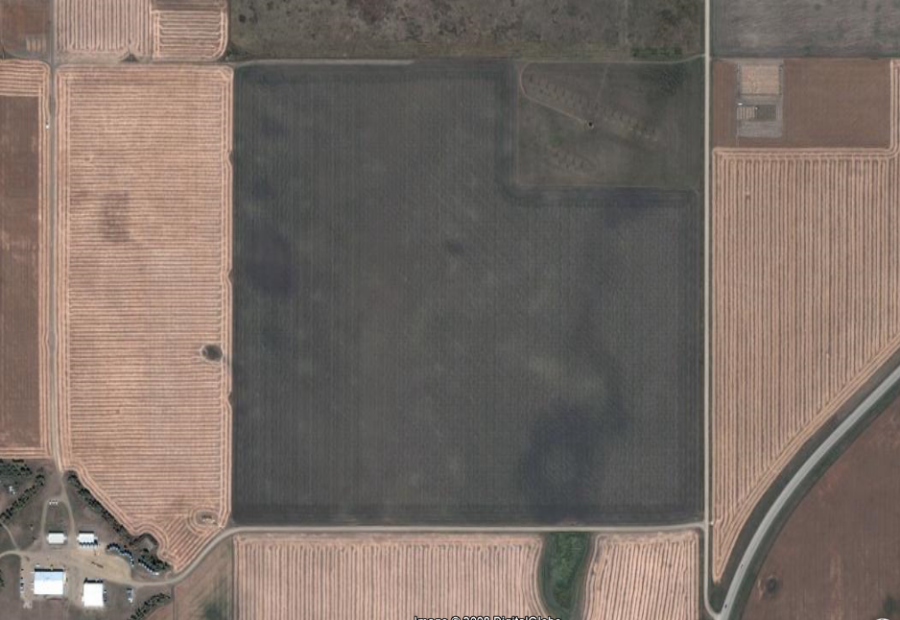
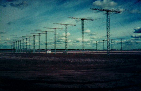
SuperDARN Saskatoon Site
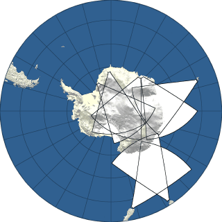
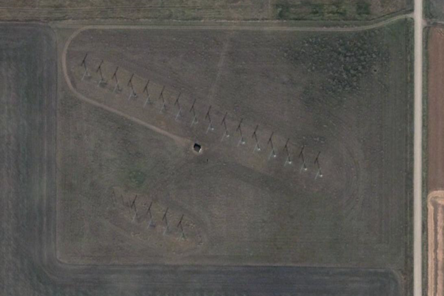
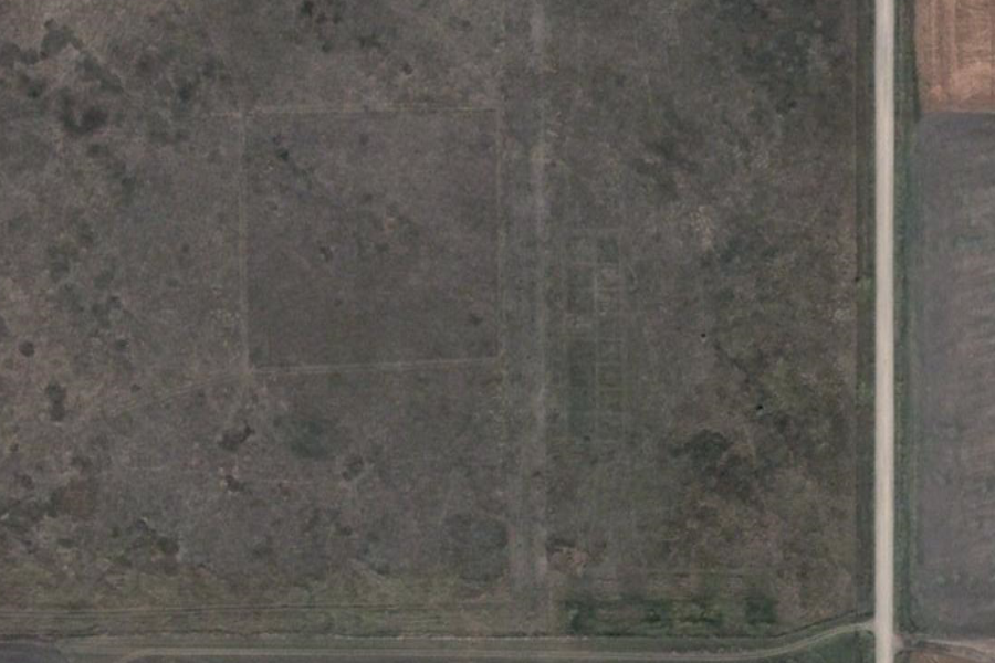
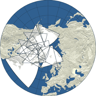
The Super Dual Auroral Radar Network (SuperDARN) is an international collaborative network of HF radars that monitors ionospheric plasma convection over the majority of the northern and southern polar regions. SuperDARN currently is comprised of 9 radars in the northern hemisphere and 5 radars in the southern hemisphere. Each radar site also has, separated by 100 m from the main array and parallel to it, a four-antenna interferometer array that is used to make angle-of-arrival measurements. By measuring the phase difference between the antenna arrays it is possible to deduce the elevation angle of arrival of the incoming radio waves. This is important for identifying the HF propagation mode. http://radar2.usask.ca/index.html The Super Dual Auroral Radar Network
..
Handled by: http://www.nrcan.gc.ca/ |
||||||||||||||||||||||||||||||||||||||||||||||||||||||||||||||||||||||||||||||||||||||||||||||||||||||||
|
..
SuperDARN Research at the Institute of Space and Atmospheric Studies of the University of Saskatchewan 1. The Super Dual Auroral Radar Network The Super Dual Auroral Radar Network (SuperDARN) is
an international collaborative network of HF radars that monitors ionospheric
plasma convection over the majority of the northern and southern polar
regions. SuperDARN currently is comprised of 9 radars in the northern hemisphere
and 5 radars in the southern hemisphere.
The location and boresite direction for all SuperDARN
radars is listed in the following table:
|
||||||||||||||||||||||||||||||||||||||||||||||||||||||||||||||||||||||||||||||||||||||||||||||||||||||||
|
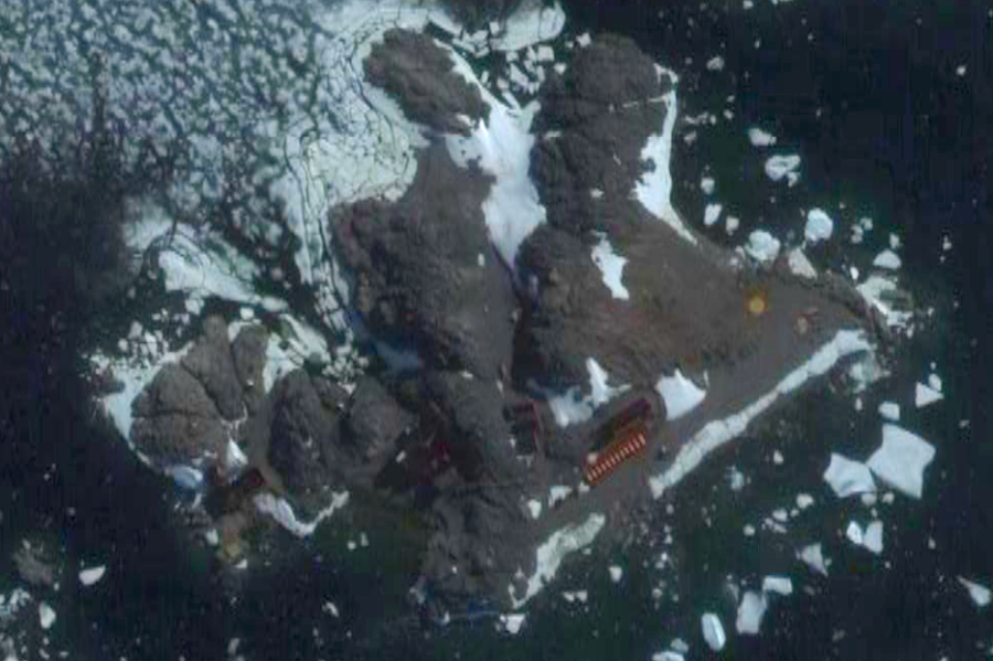
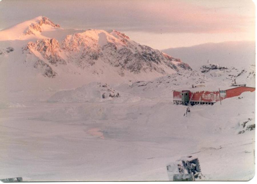
Argentina -68° 7' 48.00", -67° 5' 60.00" ..
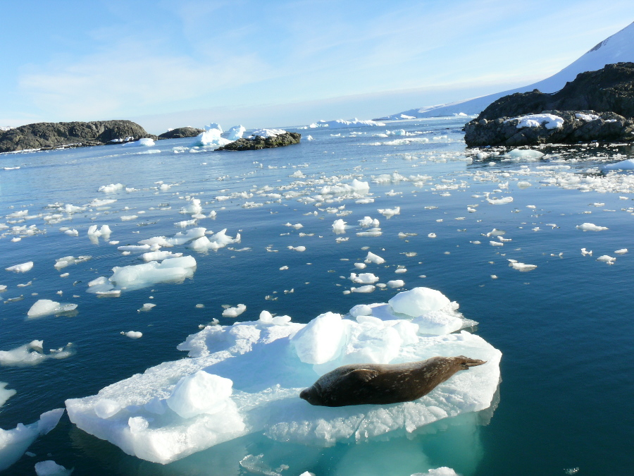
Orillas de la Bahia Margarita (Seals of Margarita Bay) ..
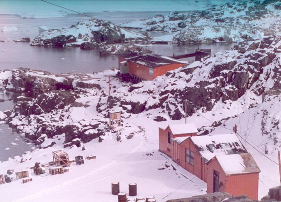
San Martín 1979 - primavera (spring) ..
San Martín 1979 - invierno (winter) |
||||||||||||||||||||||||||||||||||||||||||||||||||||||||||||||||||||||||||||||||||||||||||||||||||||||||
|
-80° 53' 60.00", -22° 14' 60.00" ..
|
||||||||||||||||||||||||||||||||||||||||||||||||||||||||||||||||||||||||||||||||||||||||||||||||||||||||
|
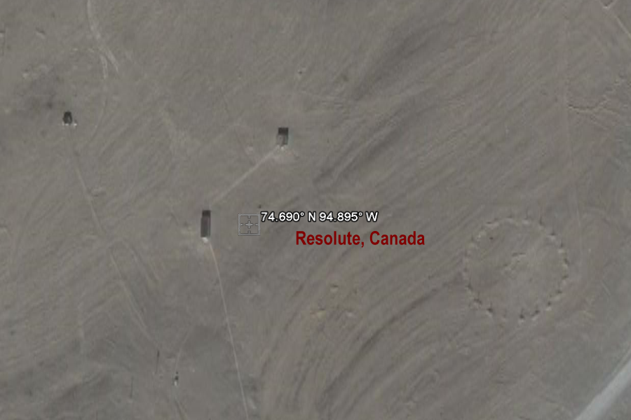
+74° 41' 24.00", -94° 53' 42.00" ..
|
||||||||||||||||||||||||||||||||||||||||||||||||||||||||||||||||||||||||||||||||||||||||||||||||||||||||
|
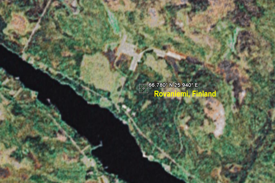
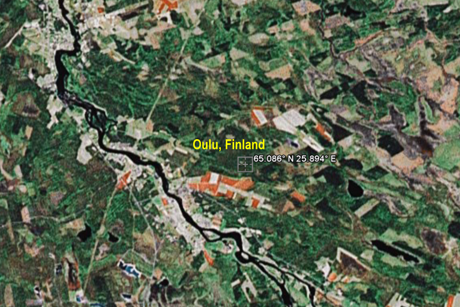
+66° 46' 48.00", +25° 56' 24.00" ..
|
||||||||||||||||||||||||||||||||||||||||||||||||||||||||||||||||||||||||||||||||||||||||||||||||||||||||
|
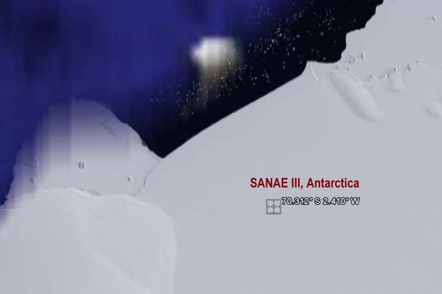
70.312° S 2.410° W ..
|
||||||||||||||||||||||||||||||||||||||||||||||||||||||||||||||||||||||||||||||||||||||||||||||||||||||||
|
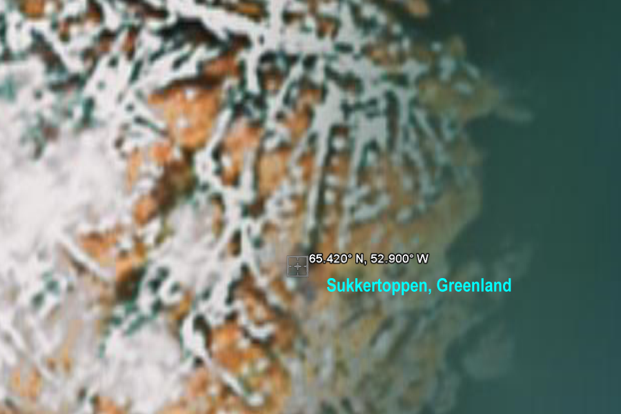
+65° 25' 12.00", -52° 53' 60.00" ..
|
||||||||||||||||||||||||||||||||||||||||||||||||||||||||||||||||||||||||||||||||||||||||||||||||||||||||
|
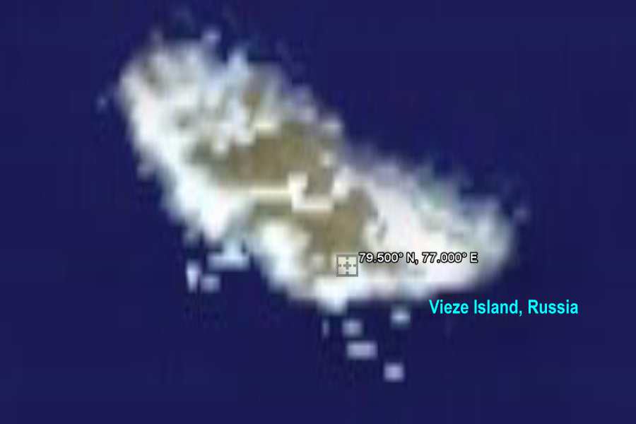
+79° 30' 0.00", +77° 0' 0.00" ..
|
||||||||||||||||||||||||||||||||||||||||||||||||||||||||||||||||||||||||||||||||||||||||||||||||||||||||
|
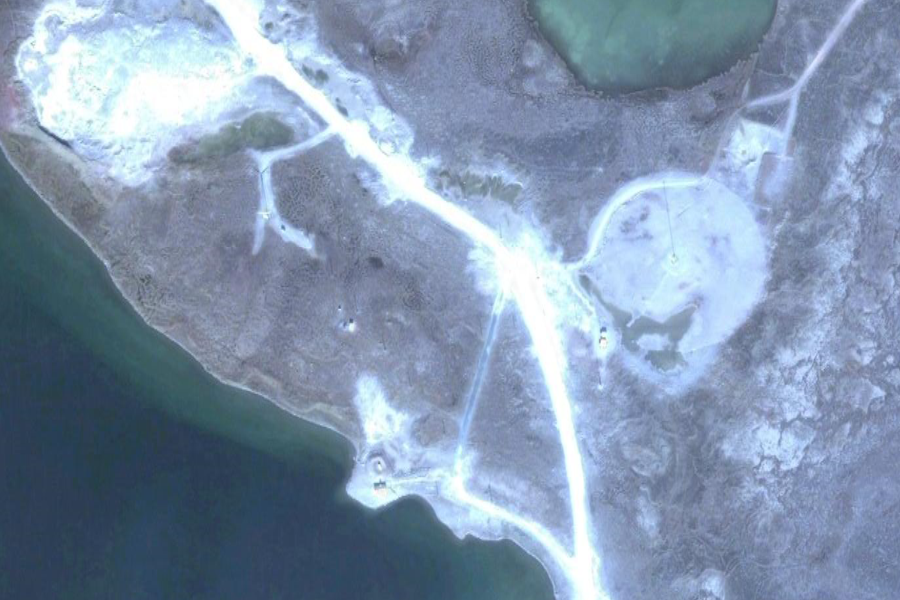
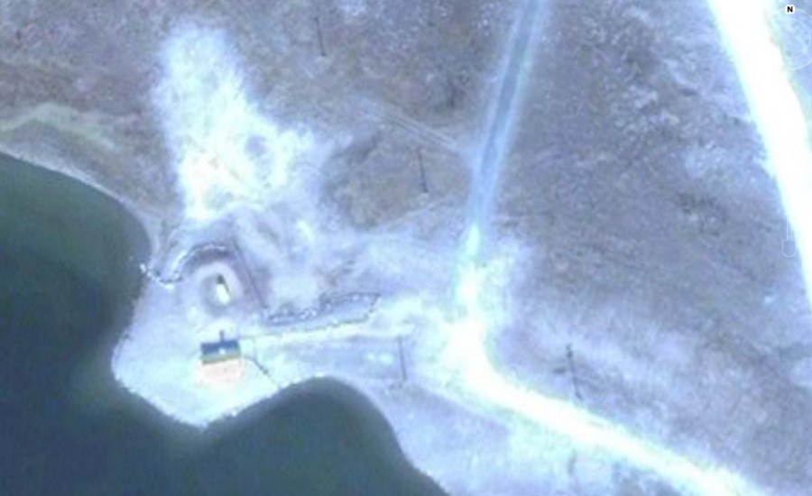
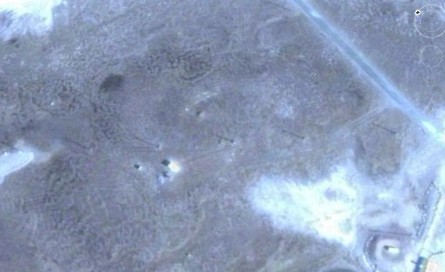
-78° 27' 0.00", +106° 25' 48.00" ..
|
||||||||||||||||||||||||||||||||||||||||||||||||||||||||||||||||||||||||||||||||||||||||||||||||||||||||
|
+62° 49' 25.33", -92° 6' 51.67" ..
..
..
..
|
||||||||||||||||||||||||||||||||||||||||||||||||||||||||||||||||||||||||||||||||||||||||||||||||||||||||
|
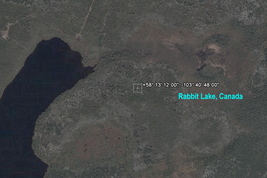
+58° 13' 12.00", -103° 40' 48.00" ..
|
||||||||||||||||||||||||||||||||||||||||||||||||||||||||||||||||||||||||||||||||||||||||||||||||||||||||
|
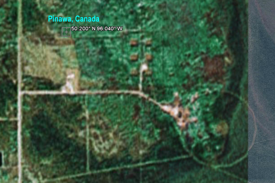
+50° 11' 60.00", -96° 2' 24.00" ..
|
||||||||||||||||||||||||||||||||||||||||||||||||||||||||||||||||||||||||||||||||||||||||||||||||||||||||
|
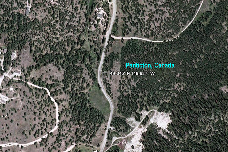
+49° 20' 42.00", -119° 37' 37.20" ..
..
Okanagan Dominion Radio Observatory small dish 2 ..
..
..
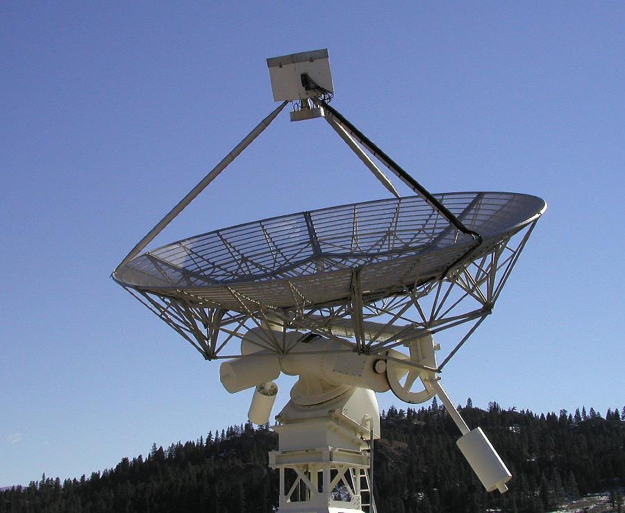
Radio telescope at DRAO The 26 m radio telescope at the Dominion Radio Astrophysical Observatory southwest of Penticton, BC. More information at Dominion Radio Astrophysical Observatory DRAO, Penicton, Okanagan ..
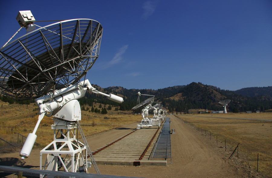
DRAO - Synthesis Telescope ..
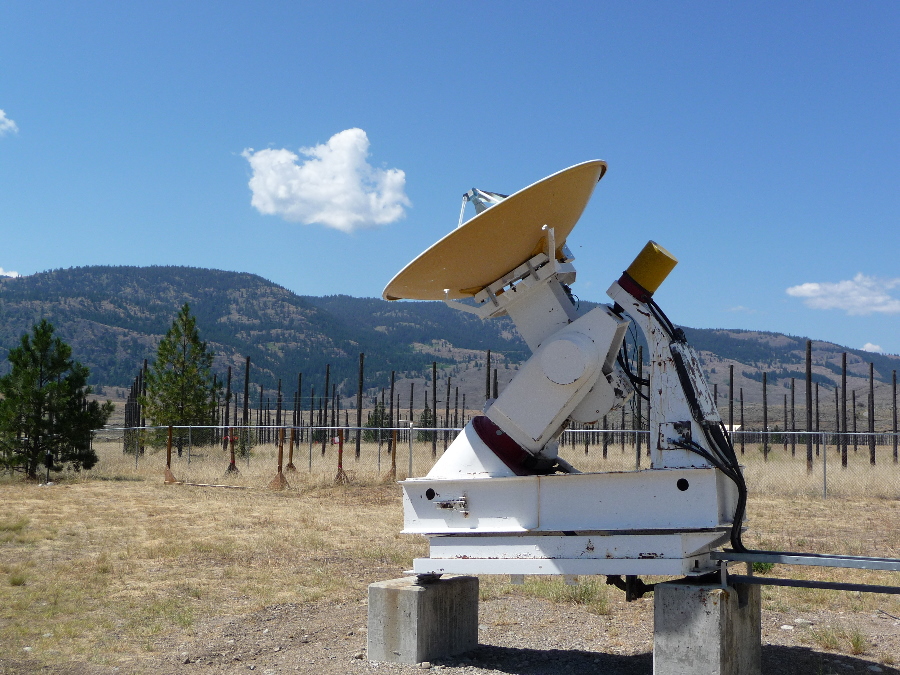
1.5m Solar Flux Radio Telescope This is one of the two 1.5m radio telescopes, which are used to monitor solar activity at a wavelength of 10.7cm. The fully automated system tracks the Sun from sunrise until sunset. Changes in solar activity can affect power transmission, radio communications and the orbits of satellites, so the data from the system is in high demand. The daily measurements obtained from these radio telescopes are distributed to scientific, government and commercial organizations worldwide.
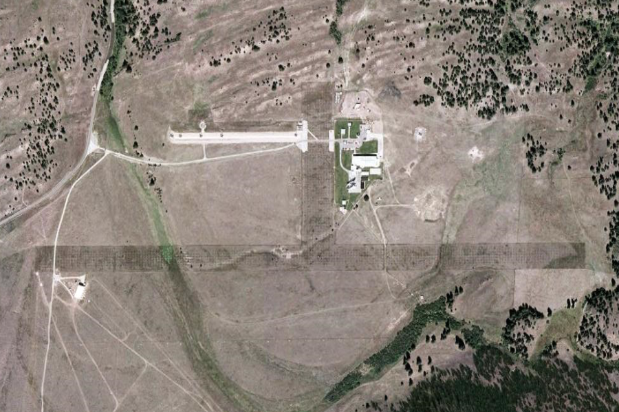
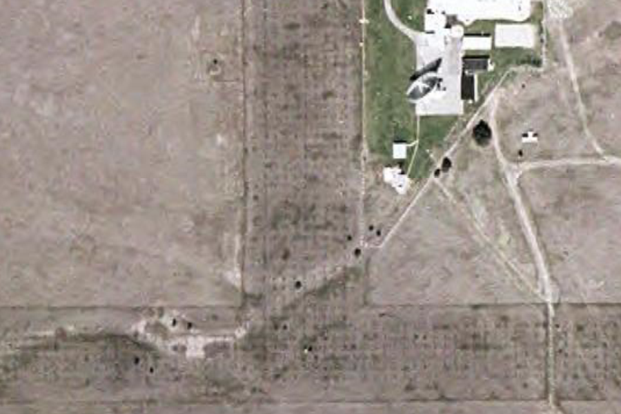
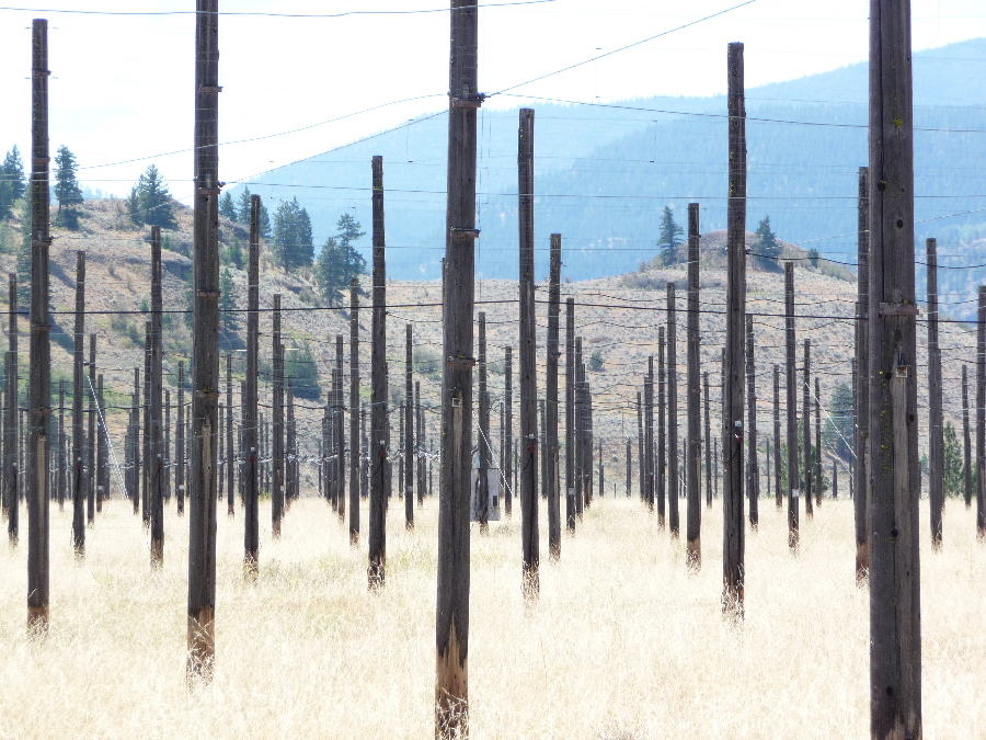
22-MHz Radio Telescope Maverick373, on July 28, said: Built in the early 1960s, the antenna of the 22-MHz Radio Telescope consists of nearly 1700 poles, which support thousands of meters of wire. This telescope was used until mid-1970s to study very long radio waves (13.6m wavelength) in our galaxy. With this telescope astronomers created a detailed map of the sky visible from this site - an achievement unmatched to this day at that wavelength. Though not operational, the vast T-shaped antenna is preserved as a historical landmark.
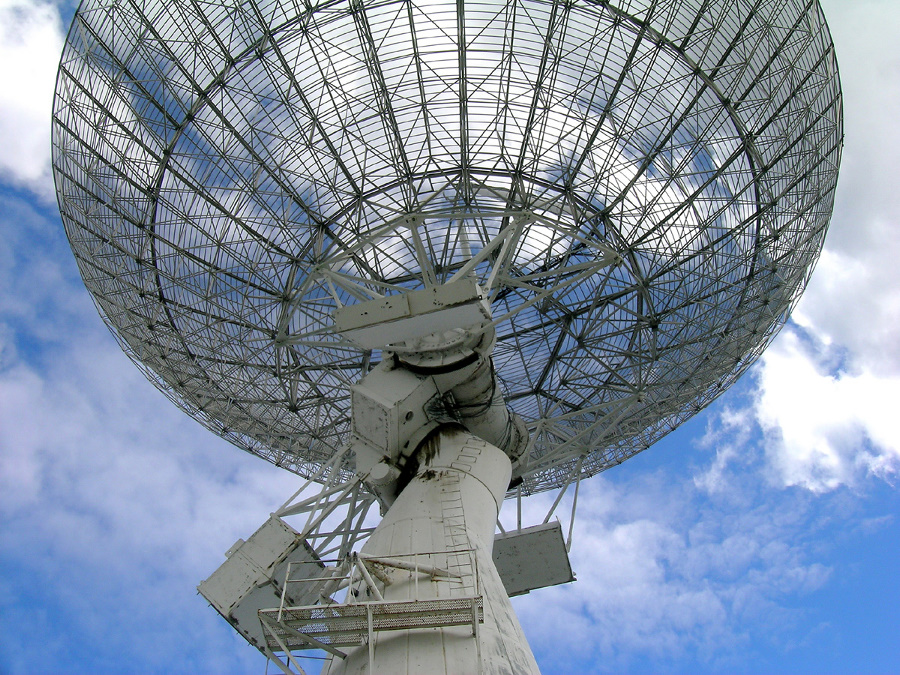
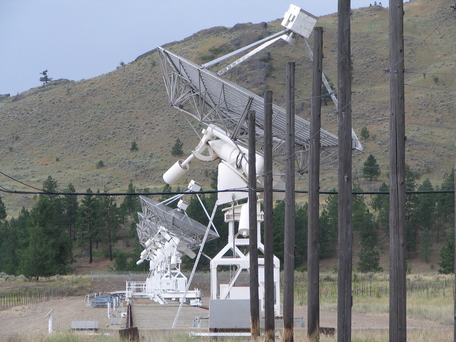
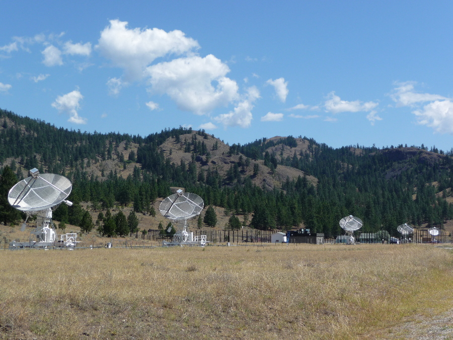
Synthesis Radio Telescope Maverick373, on July 28, said: The Synthesis Telescope is the main instrument at Dominion Radio Astrophysical Observatory and consists of seven 9-metre radio antennas, which are used to simulate a single 600m antenna. Three antennas are mounted on a rail track so their position can be changed. The Synthesis Telescope is used to measure distribution and motion of hydrogen gas in the Milky Way with high fidelity. Astronomers around the world use DRAO maps to study the processes of star evolution in our galaxy.
Synthesis Radio Telescope |
||||||||||||||||||||||||||||||||||||||||||||||||||||||||||||||||||||||||||||||||||||||||||||||||||||||||
|
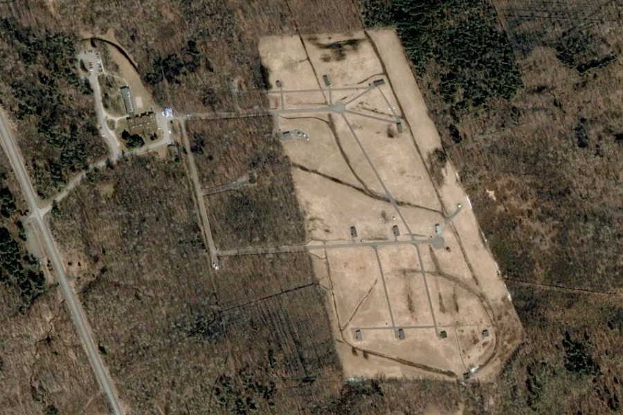
+65° 5' 9.60", +25° 53' 38.40" ..
..
|
||||||||||||||||||||||||||||||||||||||||||||||||||||||||||||||||||||||||||||||||||||||||||||||||||||||||
|
+45° 24' 10.80", -75° 33' 7.20" ..
|
||||||||||||||||||||||||||||||||||||||||||||||||||||||||||||||||||||||||||||||||||||||||||||||||||||||||
|
+45° 24' 10.80", -75° 33' 7.20" ..
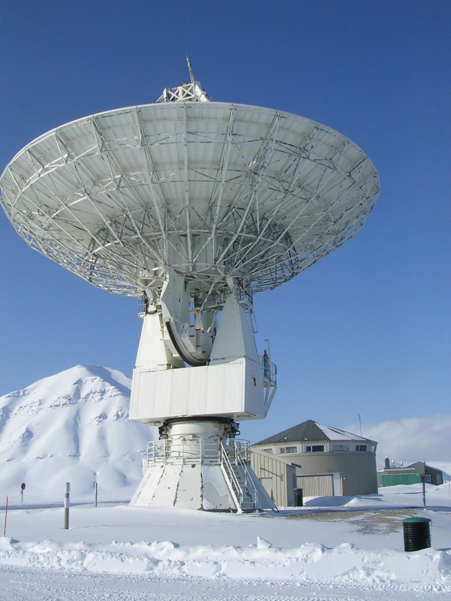
Radio telescope next to the runway in Ny Alesund |
||||||||||||||||||||||||||||||||||||||||||||||||||||||||||||||||||||||||||||||||||||||||||||||||||||||||
| FAIR USE NOTICE: This page contains copyrighted material the use of which has not been specifically authorized by the copyright owner. Pegasus Research Consortium distributes this material without profit to those who have expressed a prior interest in receiving the included information for research and educational purposes. We believe this constitutes a fair use of any such copyrighted material as provided for in 17 U.S.C § 107. If you wish to use copyrighted material from this site for purposes of your own that go beyond fair use, you must obtain permission from the copyright owner. | ||||||||||||||||||||||||||||||||||||||||||||||||||||||||||||||||||||||||||||||||||||||||||||||||||||||||
|
|
 (b)
(b)