|
|
||||||||||
|
..
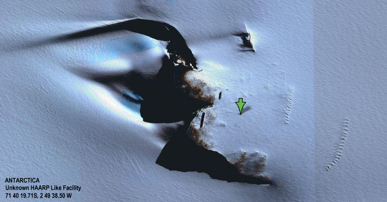
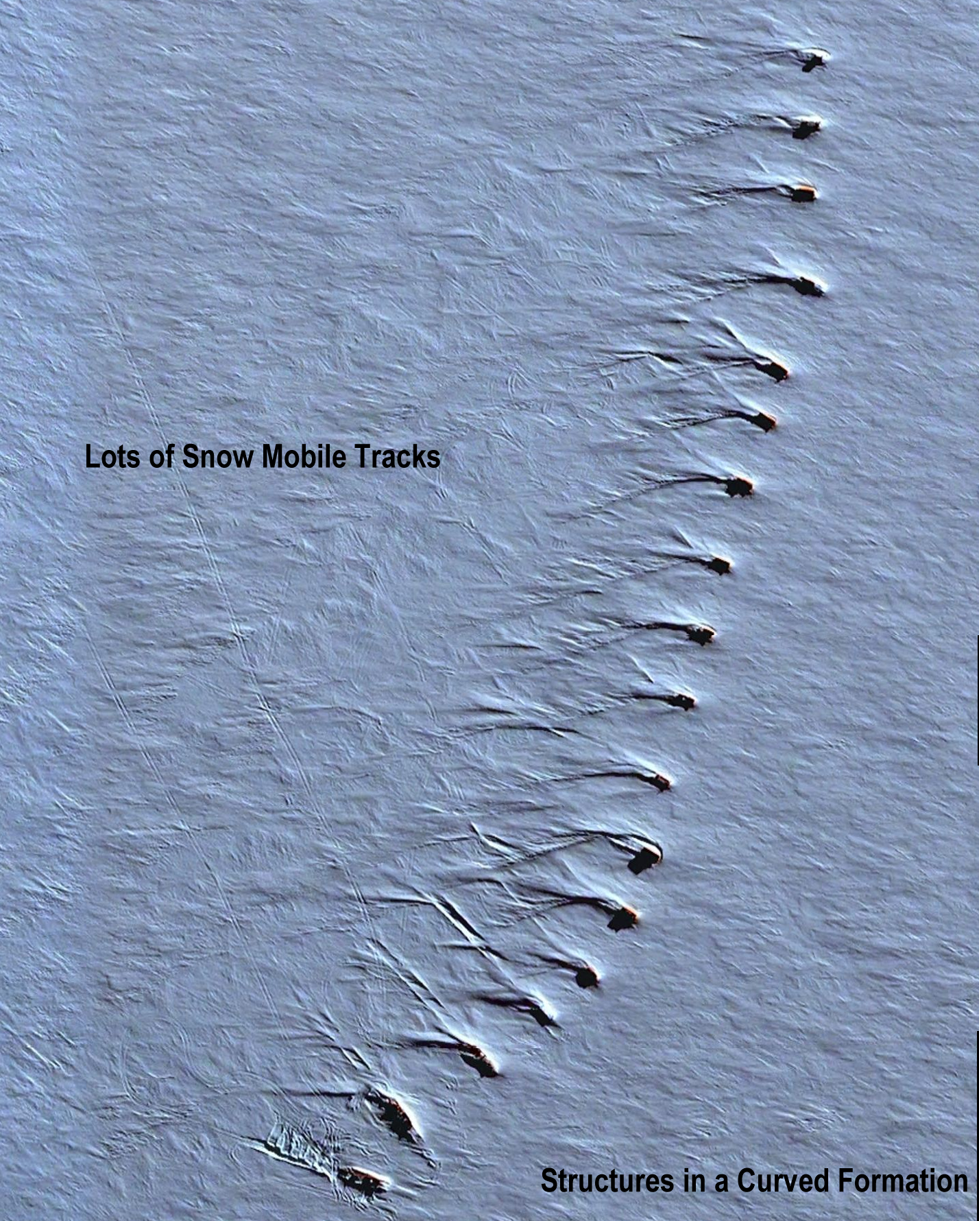
From a Letter to Russ Hamerly... While exploring Google Earth I came across these unlabeled black structures in Antarctica. I looked closer and was intrigued to see the circular marks on the snow pack, measuring about 100 feet across. The structures are at 71 40 19.71 South, 2 49 38.50 West. Now I don't feel like I'm the only one who knows about them. I hope this is something. I had a very close UFO sighting around 1959/60. The sighting left me 100% convinced that we are being observed and visited by something and someone unexplained. What makes me suspicious about this location is
that:
I might be assuming too much but, curiosity is a thing of mine, sometimes good sometimes not. Thanks for your interest and prompt response. Investigator's Notes: I verified that the box structures are near the location of the geographical coordinates supplied by the witness. I turned on all labels in Google Earth and the structures were not labeled. However, I don't believe that this necessarily means that they are not manmade. I don't see the 100 foot circular rings in the snow referenced by the witness. Suspicious objects and structures have been showing up on Google Earth images in the past few years. Some of these images seem to show unknown aerial vehicles. I don't know what these structures are or who they belong to. Thanks to Bill Puckett UFOS Northwest http://ufosnw.com/
|
||||||||||
|
Antarctica Unknown Facility ..
In the image above we have taken a large section of
the area surrounding the 'black structures' and a lot of interesting things
appear... click on the image above for the full size (13.4 megs) image
and click HERE
for the labeled version showing all the features we found..
..
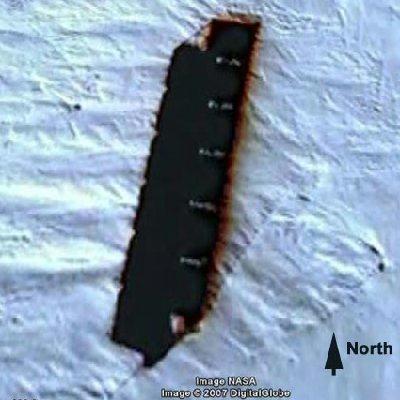
Above is the first reported large black structure...
the circles mentioned in the first report are clearly visible... but there
are a lot of straight and parallel lines in the area indicating something
buried... You can see one wide fuzzy straight line... if you look carefully
along it you will find antennas (with shadows) all about equally spaces
along it. This is best seen in the large
labeled version. (Click on image above for full size without labels.)
..
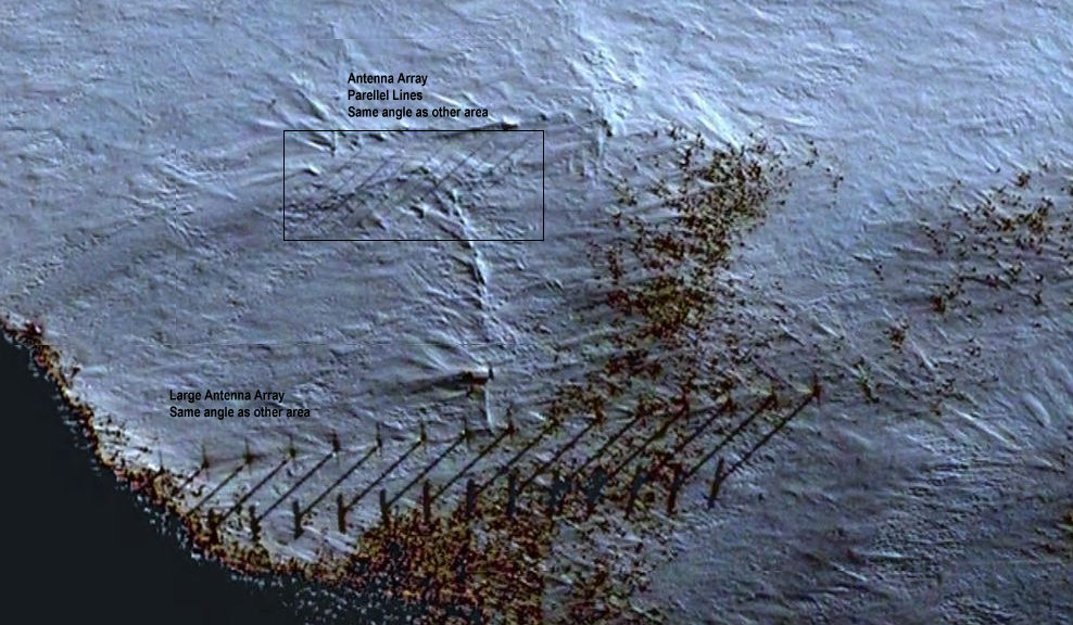
In the image above there is a second even larger black
structure below and left of the first one... There is another long row
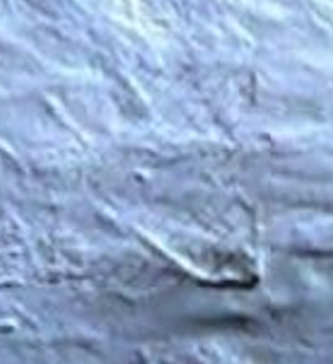
of antennas in this section, as well as a rectangular area of parallel
lines, most likely an antenna array... (see below) (Click on image above
for full size without labels.)
.. |
||||||||||
|
..
Further south of the black structures
are still more antenna arrays... (see below) (Click on image above
for full size without labels.)
....
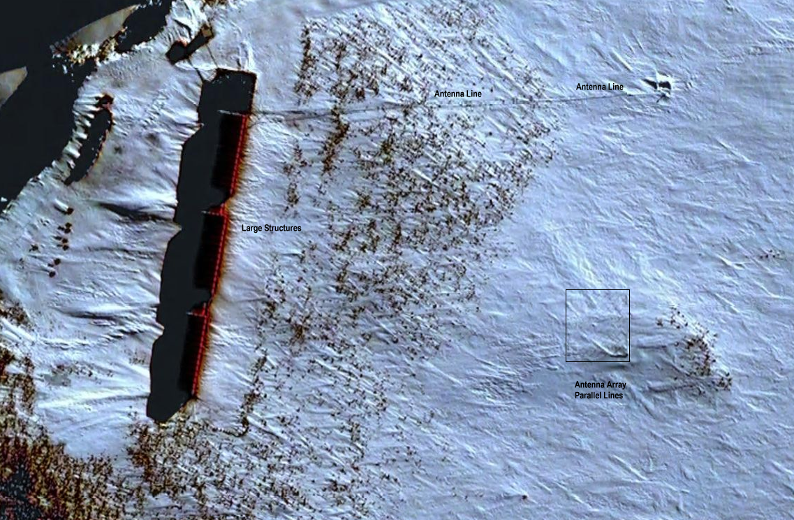
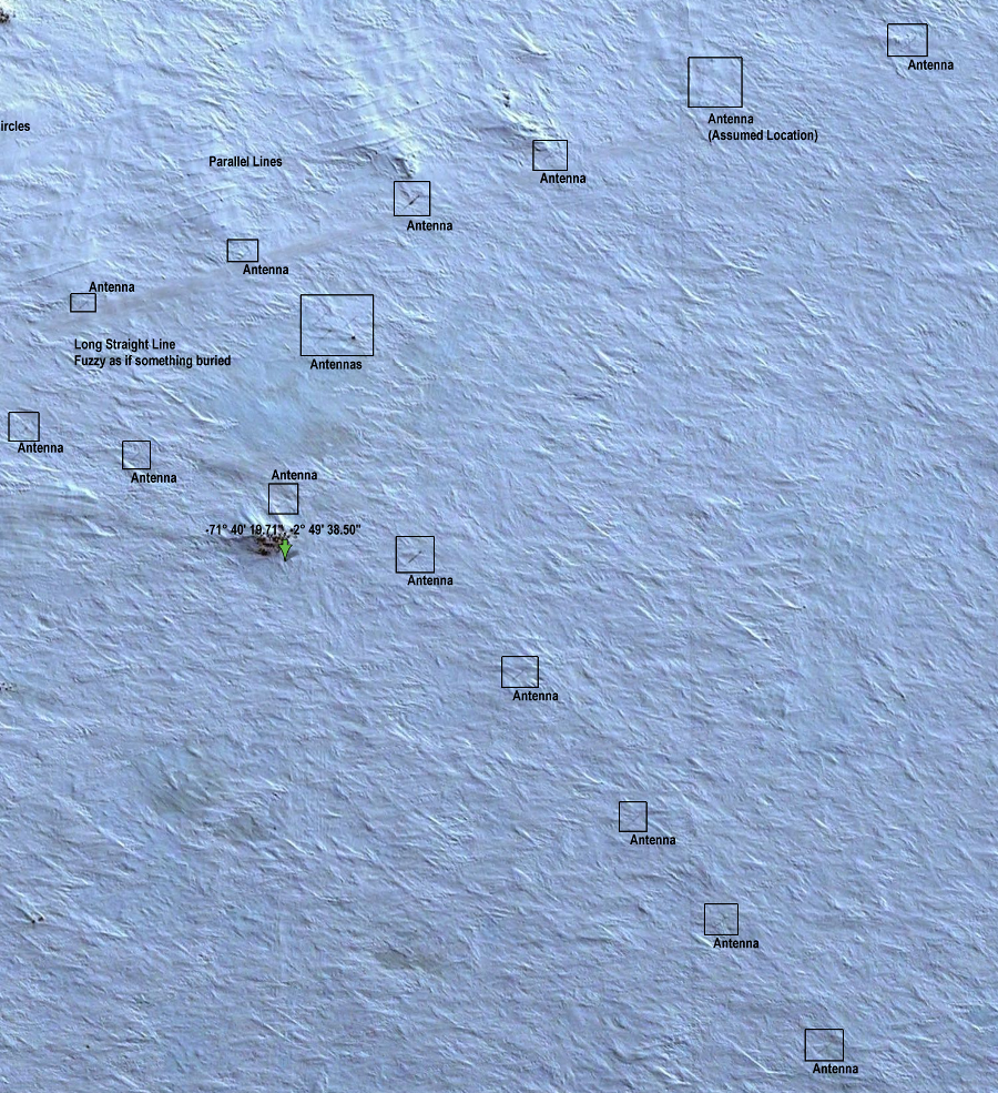
Going back to the large view...
you will find single antennas equally spaces along two straight lines.
Above is a section showing several of the antennas and their shadows. Not
all are easily visible but enough are to get the spacing. (Click
on image above for full size .) When you zoom out
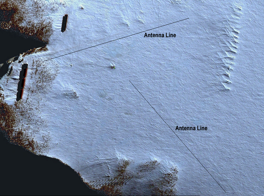
you see two straight lines... They looked artificial so we looked closer.
Below is the overview detailing the two antenna lines. (Click on image
to see full size)
..
|
||||||||||
|
..
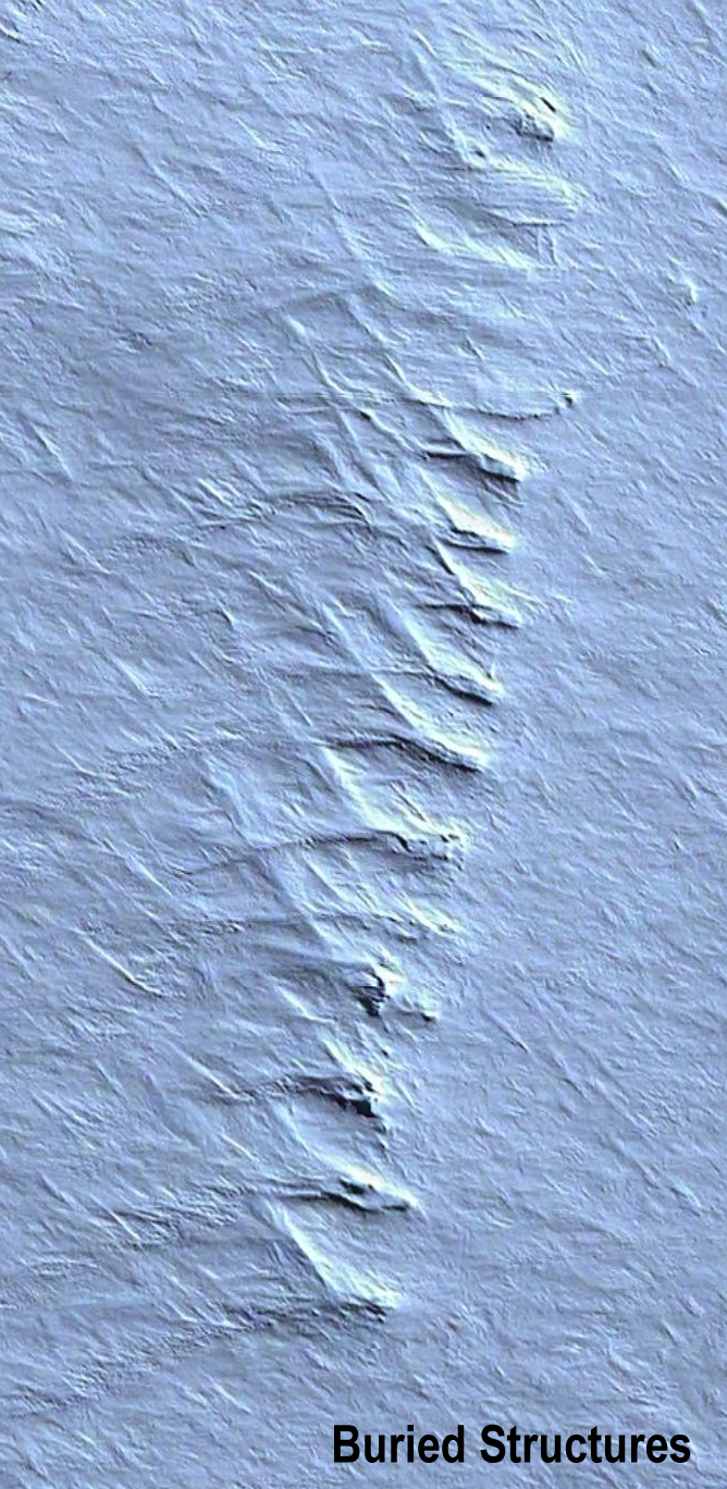
Further to the right we see a
row of strange formations... these have indications of rectangular structures
buried by snow. Why structures and not natural formations? Well that observation
is based on a similar formation even further to the right (East) of the
section we originally studied...
..
In this set the structures are
clearly recognizable... its almost as if the previous set has been abandoned...
or is simply not used. Snowmobile tracks all over this image show signs
of recent activity. (Click on either image for full size without labels)
|
||||||||||
|
..
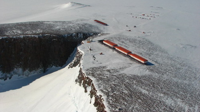
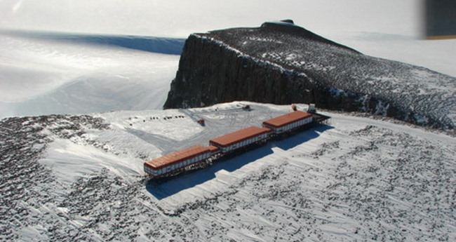
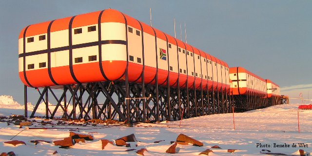
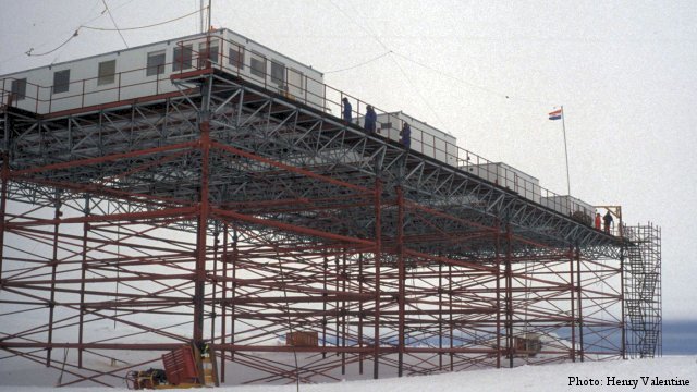
Update by Jack Arneson: Base Identified SANAE IV is the South African National ent base, SANAE 4, is located at Vesleskarvet in Queen Maud Land,
Antarctica. Summer teams can comprises maintenance personnel and scientists
from various countries and can be up to 100 people. Overwintering teams
are mainly scientists fAntarctic Expedition.
The currrom South Africa and range from 9 to 16 members.
SANAE IV Located on a nunatak, or rocky
outcrop, at Vesleskarvet (Norwegian for 'little barren mountain') on the
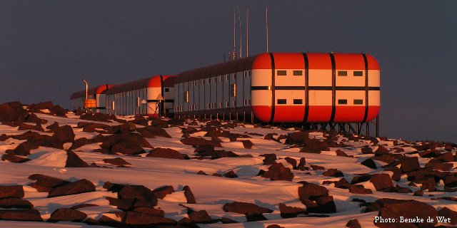
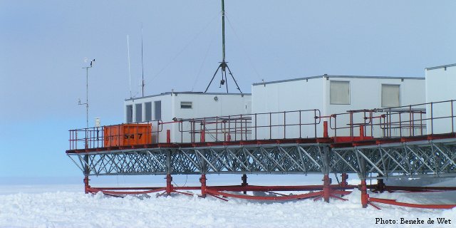
Ahlmann Ridge, about 100 miles (170k) from the coast. The huts are built
on poles since there is about 150-200 cm snow accumulation during an Antarctic
winter. Temperatures of up to -50 Celsius occur during the winter and the
sun is not seen for more than three months, which make conditions for working
outside the main base very difficult.
The HAARP Connection...
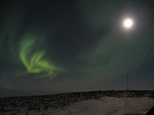
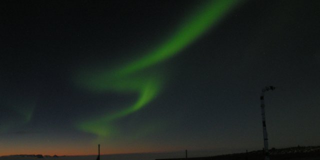
At the Antarctic base, SANAE IV,
the field of research is varied. There are programmes which provide for
upper
air research (e.g. cosmic rays) and others
again which cover the earth sciences (e.g. geology). A few of the antenna
masts are visible in these images.
E-Base: Decommissioned 2004
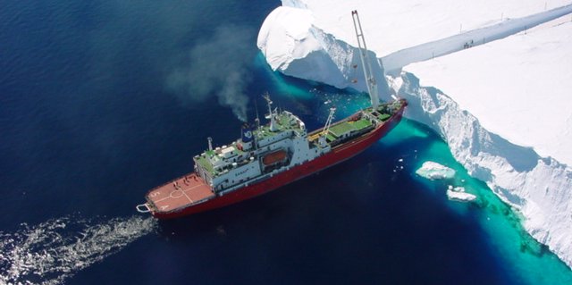
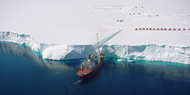
Cargo Delivery
Here you can see the rows of structures first shown in the Google Earth images at the start of this page.. Sources:
|
||||||||||
| FAIR USE NOTICE: This page contains copyrighted material the use of which has not been specifically authorized by the copyright owner. Pegasus Research Consortium distributes this material without profit to those who have expressed a prior interest in receiving the included information for research and educational purposes. We believe this constitutes a fair use of any such copyrighted material as provided for in 17 U.S.C § 107. If you wish to use copyrighted material from this site for purposes of your own that go beyond fair use, you must obtain permission from the copyright owner. | ||||||||||
|
|
