|
The Enigmas on the Moon Lunar Reconnaissance Orbiter |
||||||||
Member of AboveTopSecret.com (Edited and Additions by Pegasus) |
||||||||
|
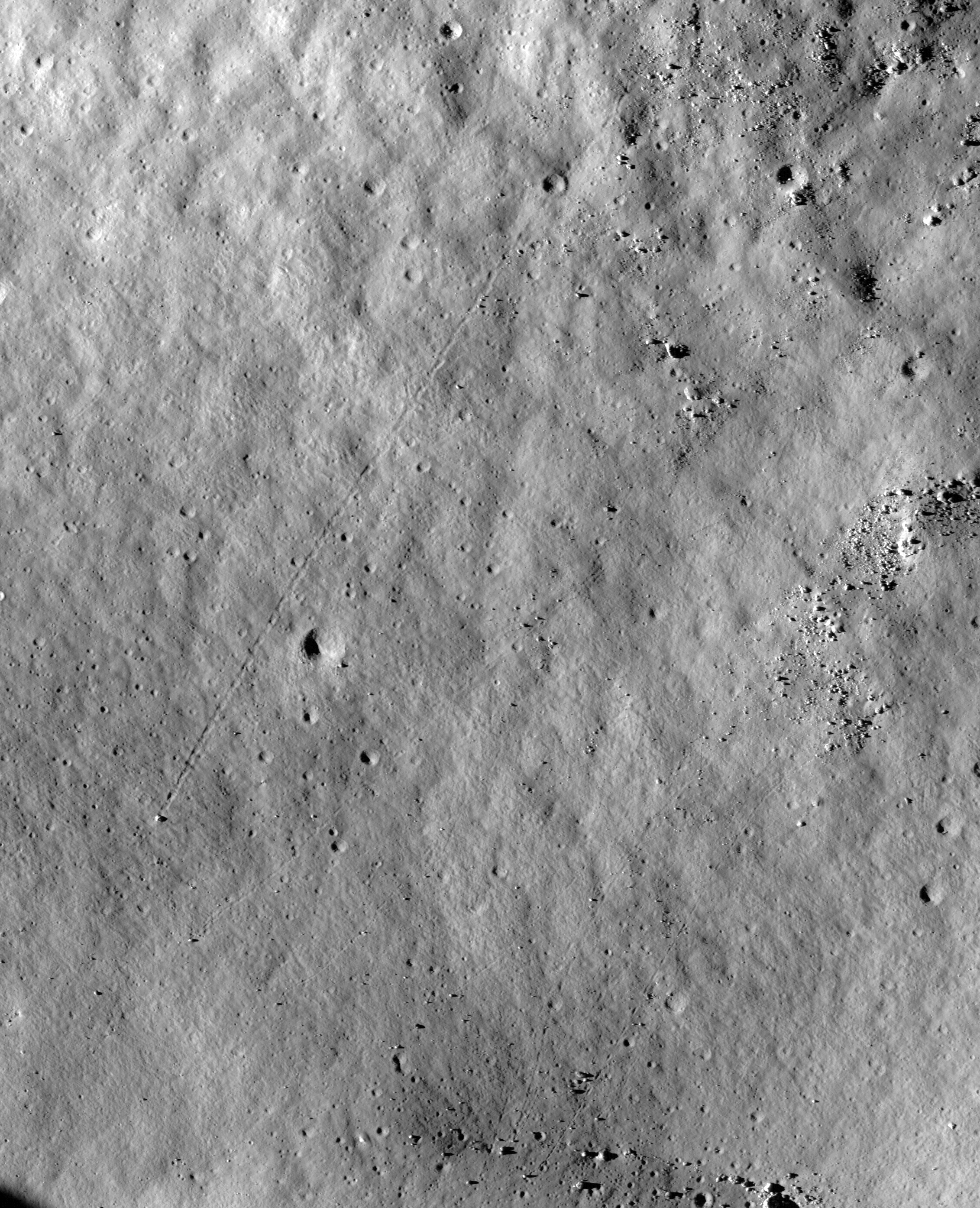
Page Two Rolling Rock Tracks onM101291859R Originally posted by ArMaP on
August 5, 2009 at ATS Post
ID 6853156
From Thread: Lunar Reconnaissance
Orbiter - Will we finally see the Moon Base?
Four rocks in a row?
It looks like those white rocks are below the surface...
I will post later an image showing where I found those
images in the larger image, I forgot to do that yesterday. Posted by ArMaP, on August 5,
2009
reply to post by easynow I have been using Photoshop (it's better in the handling of very large files, but it's not free), but GIMP (freeware) can also open those files. Microsoft Office Document Imaging can also open the files. An old copy of PaintShopPro that I have cannot, but
that is only natural, TIFF has so many possibilities that many programs
use only the most basic and ignore the others. In this case they probably
"think" that 52,224 pixels it's too big (they are probably limited to 32,768
pixels in either dimension)
|
||||||||
Posted by ArMaP, on August 5,
2009 ATS
Post ID 6854281
|
||||||||
|
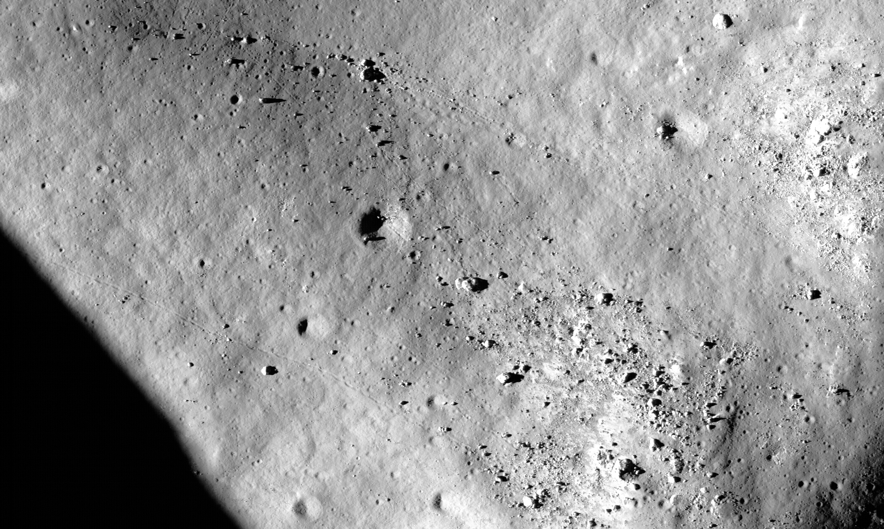
Interesting Finds on LRO Images Rolling Rock Tracks on M101291859L
Posted by ArMaP, on August 5, 2009 ATS Post ID 6856013 More rolling rocks, from the other photo published yesterday, the one for the left camera.
...
...
The top of this image is the same as the bottom of the previous one, it looks like that area is lower and the rocks roll down from both sides to that area.
...
...
|
||||||||
|
Interesting Finds on LRO Images Location of Images M101291859 L & R Originally posted by ArMaP posted on August 7, 2009 at ATS Post ID 6868326 It took me a little longer than I was expecting (it took me some time to download and work with a 1.2GB image, only to reach the conclusion that it did not looked good and I had to download a 2GB image, convert it and work with it), but here is an image showing the location of photo M101291859 (L and R).
The brighter are is the area covered by Apollo 15 photo AS15-M-1710, that also shows this area, and it's a little distorted to align with the base image, I don't know if there is any mapping problem with the Apollo photo (the base photo is from the Clementine Browser 2.0). The red rectangle shows LROC photos M101291859L and M101291859R.
Photos LROC photos M101291859L and M101291859R, joined and resized to 25% to fit on ATS.
As a comparison, here is the same area from the Apollo photo AS15-M-1710, resized to 50%.
PS: The last two images are posted as links because they are big and could make the page too slow for slower connections. [for ATS] PPS: The area that interests you the most is not this
one, while this is on the bottom right of the first image, what you want
is the top right area. Posted by ArMaP, on August 7, 2009 ATS Post ID 6869444 Originally posted by Cygnific reply to post
by ArMaP
Yes, we don't need digital cameras to have good photos,
film is still a good option (although probably less of an option in a space
mission). Also, those "Metric" photos from Apollo 15, 16 and 17 were made
with large negatives, 12cmx12cm.
Very nice, it's amazing how good the quality was from the camera's back in the Apollo days. That Apollo photo came from the Apollo
Image Archive site, they are digitizing the photos in high resolution
taken by the Apollo missions (they started with the "Metric" photos).
What is so special about the top
right of Tsiolkovsky
That depends on who you ask, to me it's only geologically
interesting, like the whole region. Posted by ArMaP, on August 7,
2009 ATS Post
ID 6869634
Originally
posted by mystr
Thanks, it's amazing what we can do when we have the time.
"ArMap, your work is impressive!" "It seems
that we finally have those promised hi-res pics."
"Let's
hope we'll get another pass over the apollo 11 to 17 (and 20?
I don't know if they will photograph those sites again,
after all that is not one of the mission's objectives.
After writing that I thought that this is a good excuse to post the primary objectives of the LRO camera (the LRO has more instruments on board). 1) Assess meter- and smaller-scale features to facilitate safety analysis for potential lunar landing sites near polar resources, and elsewhere on the Moon.The other six "high-value data sets" are: 3) meter-scale mapping of regions of permanent or near-permanent illumination of polar massifs;Source: http://pds-geosciences.wustl.edu/missions/lro/docs/lroc/lroc_rdr_sis.pdf |
||||||||
| You may use this content as long as you comply with our Creative Commons Deed by properly sourcing the author as owner, source the AboveTopSecret.com website as co-owner, do not create a derivative work, and do not use it for commerical purposes. | ||||||||
| FAIR USE NOTICE: This page contains copyrighted material the use of which has not been specifically authorized by the copyright owner. Pegasus Research Consortium distributes this material without profit to those who have expressed a prior interest in receiving the included information for research and educational purposes. We believe this constitutes a fair use of any such copyrighted material as provided for in 17 U.S.C § 107. If you wish to use copyrighted material from this site for purposes of your own that go beyond fair use, you must obtain permission from the copyright owner. | ||||||||
|
|