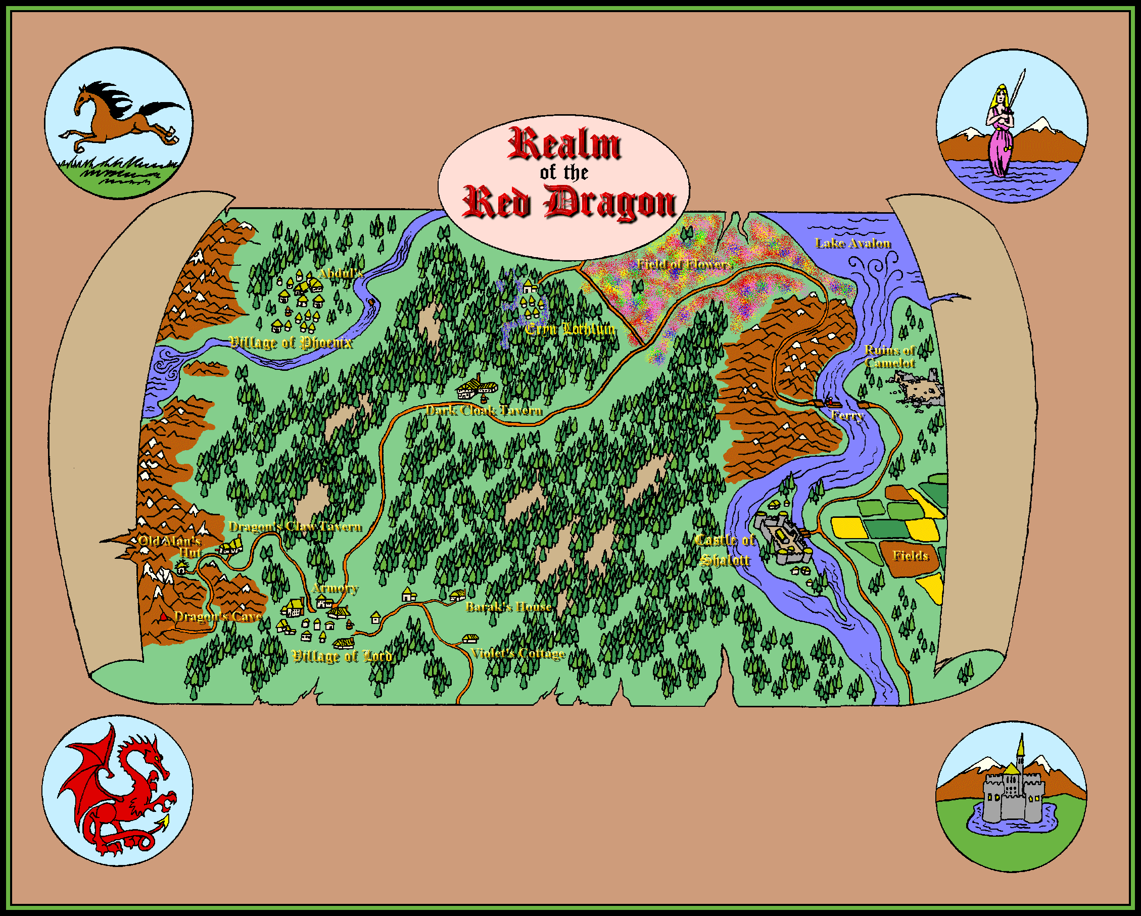
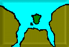
Map © Isle of Standauffish This is where it all began. Our first map, created from
the game Legend of the Red Dragon by Seth Able Robinson. This map ties
together some of the elements from the game and the description of Shalott
taken from Alfred Lord Tennyson's ballad "The Lady of Shalott"Click on
map for full size image.
Maps of the Isle of Standauffish 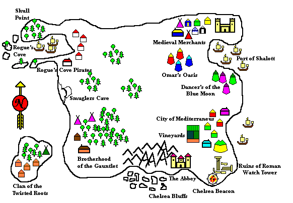
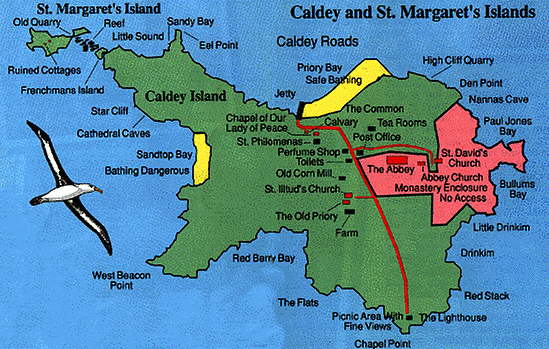
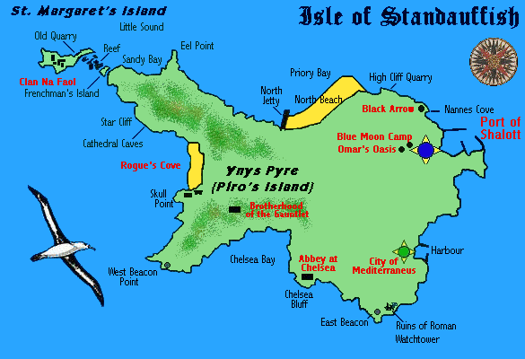
Map © Isle of Standauffish This map was created from the physical setup we had
at our first official function as the Isle of Standauffish at our local
Las Vegas Ren Faire. The Areas were drawn as we were laid out at the fair,
with additions as needed such as a rocky cove for the pirates, with a cave
to hide treasure, a safe harbour for the Port of Shalott, fields and a
cove for Mediteranneus, forests for the Clans, with a small Island for
one of our satelite groups in California and cliffs for the Monastery at
the south of the Isle, the Monastery being traditionally to the south of
the merchants. This map was drawn from the imagination, before we
found our current island. Compare this to the actual island we found to
suit our needs, Caldey Island
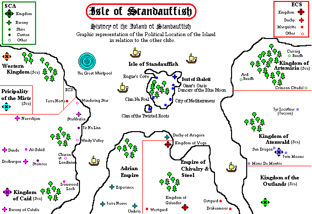
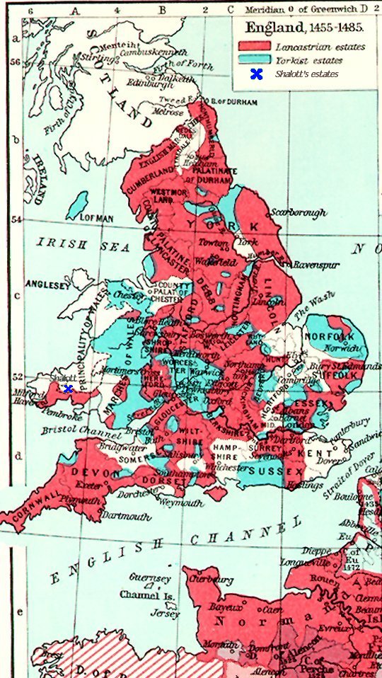
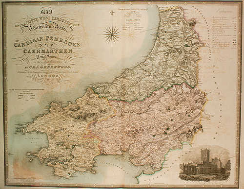
Map © Isle of Standauffish This map was created to show our political position
in relation to the three other re-creation clubs in our area. At the time
of creation the SCA Kingdoms of Atenwald and Caid were at war, so we drew
them to either side as continents. The ECS and the Adrian Empire were added
approximating their geographical relation to us, having join territory
here in Las Vegas. This map, when taken upside down, and the Island moving
a little closer to land and a litte further out, fits the coast of Wales
and Carmarthen Bay quite closely as can be seen on the next map. All this
is just part of the many coincidences that we came upon while creating
our current living History. {Click on the map for details.}
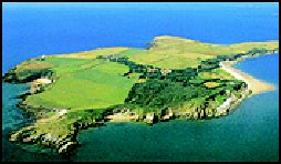
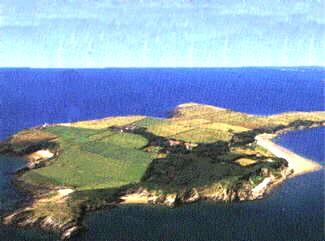
These show the similarity of the coastlines
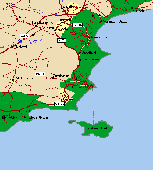
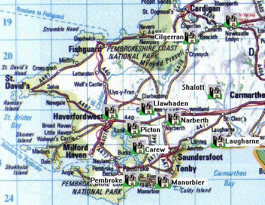
The Isle of Standauffish {Caldey Island} in relation to Tenby, Wales
This is the Isle of Standauffish, showing the Ports
and Villages of the various member states. The Island, known as Ynys Pyr
by the Welsh {pronounced annas peer} which means Pyro's Island is today
known as Caldey Island. The actual History of the island ties in most well
with our re-created history and is very interesting in its own right. It
lies just off the coast near Tenby and Pembroke in Carmarthen Bay.
For the History of
the Isle, our Deed and Title,
or the real History of
Caldey Island follow these links.
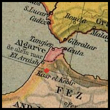
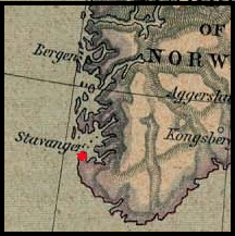
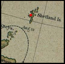
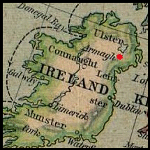
Historical Maps of Significance to our History & Our Members
|
 |
|
|
|
|
|
|

Webpage © 1995-2017 Isle of Standauffish