|
Rock Formations |
|||||
|
Simpson, Australia Northern Territory, South Australia and Queensland
The
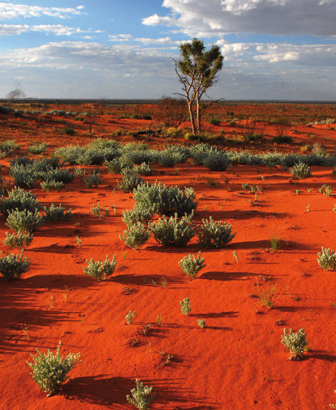
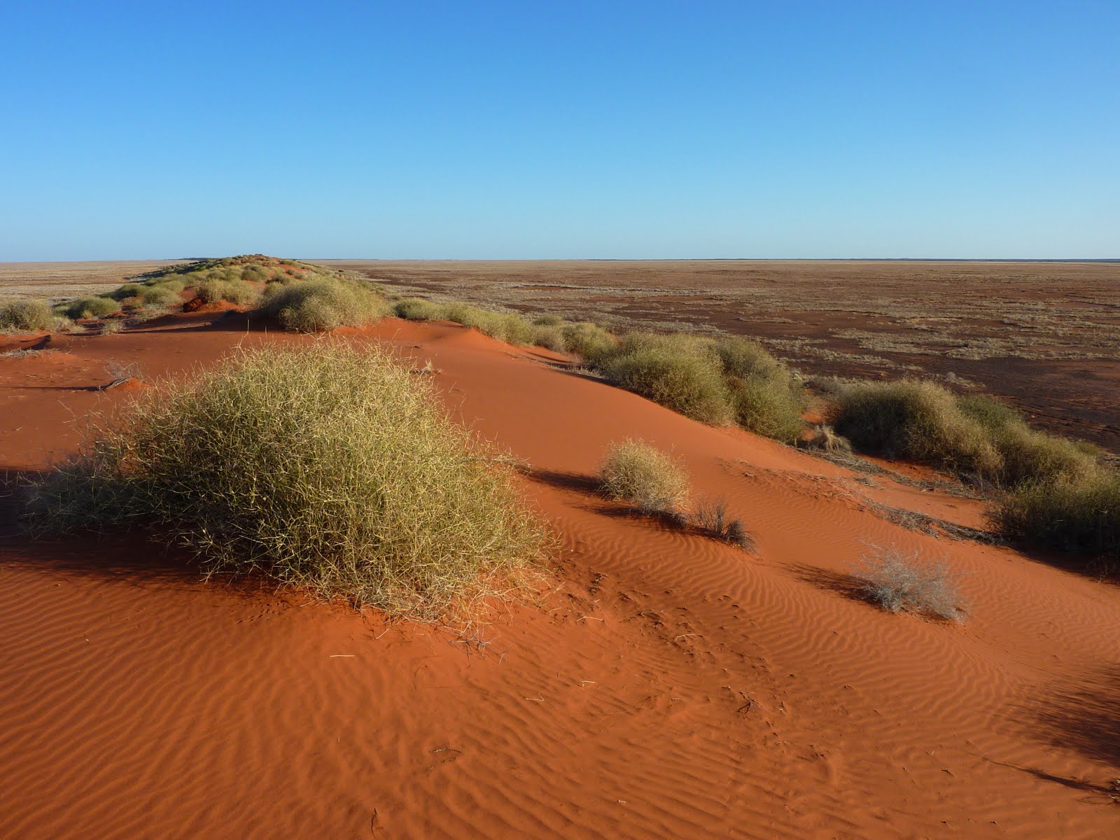
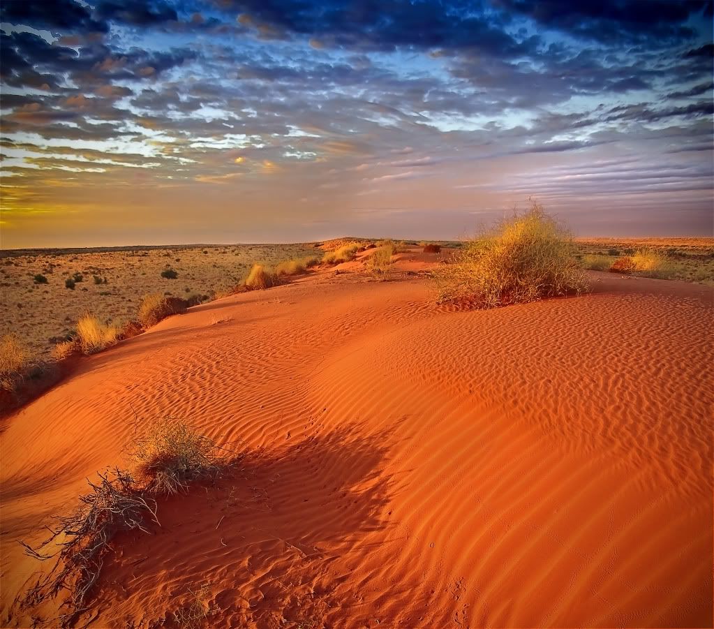
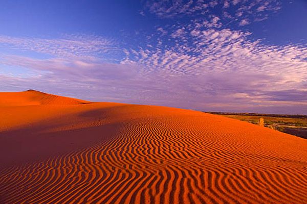
Simpson Desert is a large area of dry, red sandy plain and dunes in
Northern Territory, South Australia and Queensland in central
Australia. It is the fourth largest Australian desert, with an area of
176,500 km2 (68,100 sq mi) and is the world's largest sand dune desert.
The desert is underlain by the Great Artesian Basin, one of the largest inland drainage areas in the world. Water from the basin rises to the surface at numerous natural springs, including Dalhousie Springs, and at bores drilled along stock routes, or during petroleum exploration. As a result of exploitation by such bores, the flow of water to springs has been steadily decreasing in recent years. It is also part of the Lake Eyre basin. The Simpson Desert is an erg which contains the world's longest parallel sand dunes. These north-south oriented dunes are static, held in position by vegetation. They vary in height from 3 metres in the west to around 30 metres on the eastern side. The largest dune, Nappanerica, is 40 metres in height. ~ Simpson Desert
Simpson
Desert- desert of red sand. Australia is the mainland of four large
deserts, which are popularized by the movie "Mad Max." The most notable
of these is the Simpson Desert. It is here that the world's longest red
sand dunes, which are also located in parallel. They stretch from south
to north, reaching a height of 40 meters, keeping in place with
vegetation. In total, there are about 1,100 dunes in the desert. The
length of the desert itself is about 170 kilometers, but there are
stone islands in the middle of the sands. There are no special roads
through Simpson, their role is played by transport routes laid here by
gas and oil seekers in past years. On the western edge of the desert
passes the old railway line. The desert is recognized as a national
park, attracting hundreds of tourists annually. They are not afraid of
exhausting heat, sandstorms and impassable roads. In summer, the
temperature here reaches 50 ° C, which even caused several people to
die here. That is why the Australian government decided to close
Simpson to visit during a particularly hot period. ~ Molomoru
|
|||||
|
Kane County, Utah
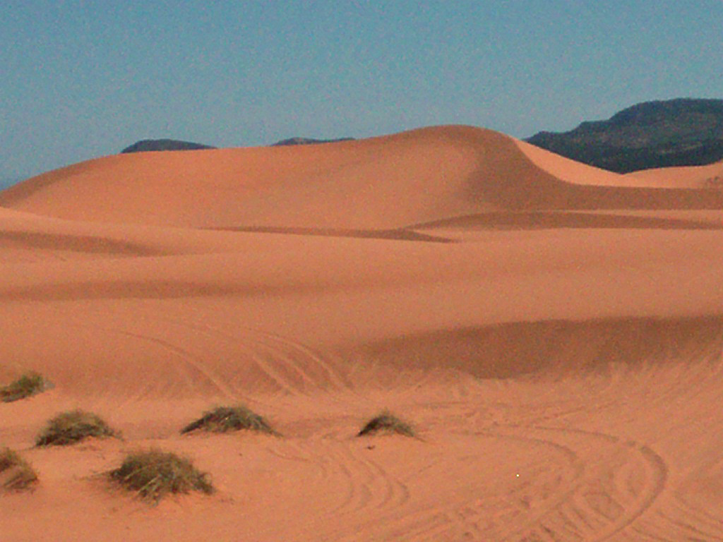
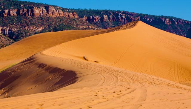
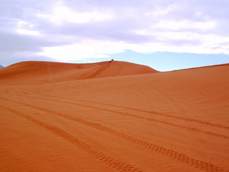
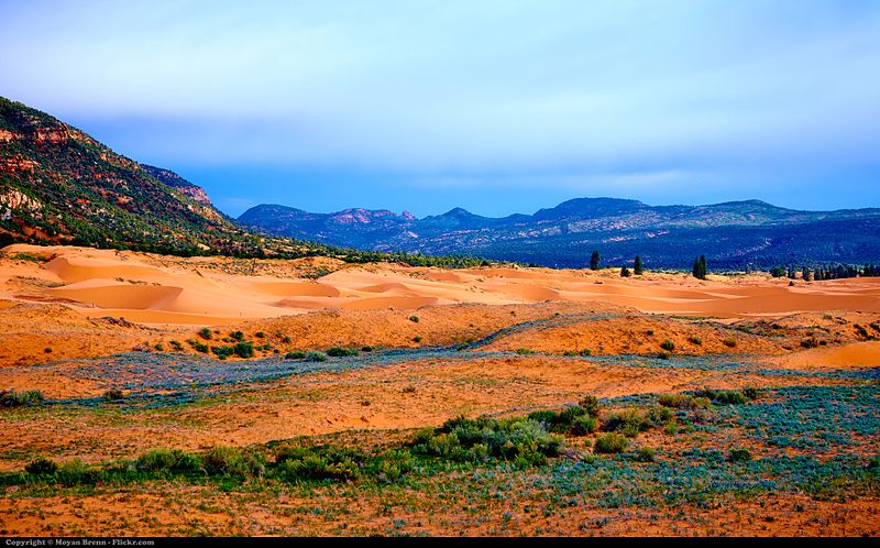
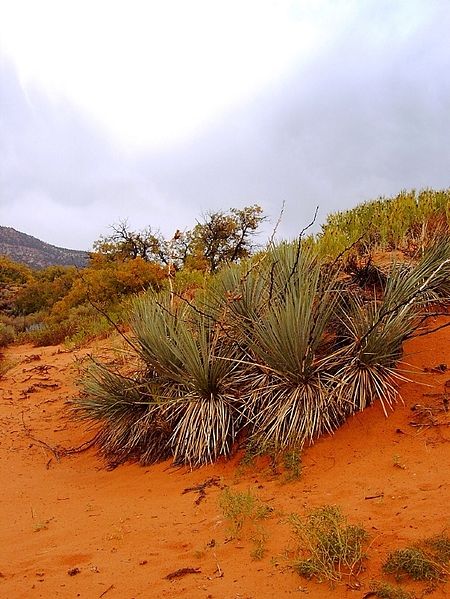
Coral Pink Sand Dunes State Park is a state park of Utah, United States, located between Mount Carmel Junction and Kanab, south and west of U.S. Highway 89 in southwestern Utah. The park features coral-hued sand dunes located beside red sandstone cliffs. The Dunes are formed from the erosion of pink-colored Navajo Sandstone surrounding the park. High winds passing through the notch between the Moquith and Moccasin Mountains pick up loose sand particles and then drop them onto the dunes because of the Venturi effect. The dunes are estimated to be between 10,000 and 15,000 years old. The park allows camping, hiking, off-road vehicle driving, and photography. There is a conservation area of 265 acres, and the total grounds include 3,370 acres . It was established as a Utah state park in 1963. The Coral Pink Sand Dunes tiger beetle (Cicindela albissima) is an insect species that is endemic to the dunes, being found nowhere else in the world. This state park contains most of the remaining individuals of a rare plant, Welsh's milkweed (Asclepias welshii), a federally listed threatened species. ~ SOURCE
|
|||||
| FAIR USE NOTICE: This page contains copyrighted material the use of which has not been specifically authorized by the copyright owner. Pegasus Research Consortium distributes this material without profit to those who have expressed a prior interest in receiving the included information for research and educational purposes. We believe this constitutes a fair use of any such copyrighted material as provided for in 17 U.S.C § 107. If you wish to use copyrighted material from this site for purposes of your own that go beyond fair use, you must obtain permission from the copyright owner. | |||||
|
|
